

National Forest Service
Inyo National Forest Service Map
Inyo National Forest Service Map
Couldn't load pickup availability
Share
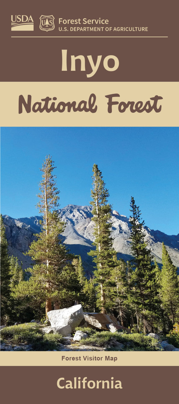
Discover the natural wonders of California’s stunning Eastern Sierra with the Inyo National Forest Service Map. Encompassing over 2 million acres, this diverse forest stretches from the High Sierra peaks near Yosemite and Kings Canyon to the Mojave Desert.
Explore iconic attractions like Mount Whitney, the highest summit in the contiguous U.S., the mesmerizing Ancient Bristlecone Pine Forest, home to Earth’s oldest trees, and the surreal Mono Lake with its otherworldly tufa towers. The map details rich habitats of mule deer, black bears, Sierra Nevada bighorn sheep, and vibrant wildflower meadows.
Established in 1907, Inyo National Forest is a historic gateway for outdoor enthusiasts. Conveniently located along the US-395 corridor, it offers endless hiking, camping, and scenic driving opportunities. Plan your adventure today with this essential guide—your key to exploring one of California’s most breathtaking landscapes!
SKU: SKU:NFCAI
View full details