DeLorme
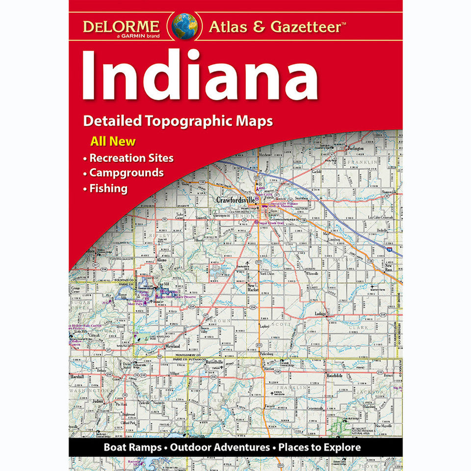
Indiana Topographic Atlas & Gazetteer by DeLorme
Indiana Topographic Atlas & Gazetteer by DeLorme
Couldn't load pickup availability
Share
Trade the tiny phone screen for big Hoosier State adventures! The Indiana Topographic Atlas & Gazetteer by DeLorme puts a whole world of trails, scenic backroads, and outdoor discoveries right at your fingertips.
Skip spotty cell service and frustrating folded maps! This 68-page, book-bound Indiana atlas makes it easy to flip between detailed, full-color topographic maps, compare routes, and plan your next escape without relying on an internet connection. From wooded hiking trails and historic towns to scenic drives, boat ramps, and secret fishing holes, it’s your handy guide to exploring Indiana beyond the beaten path.
Head to Brown County State Park for rugged hills and forested trails, or discover the dramatic dunes and sandy shoreline of Indiana Dunes National Park along Lake Michigan. These popular outdoor destinations showcase the Hoosier State’s surprising variety, from rolling southern woodlands to breezy Great Lakes beaches.
An extensive index helps you find places fast, while latitude/longitude grids support GPS navigation. Handy inset maps highlight major cities and state lands, making it easier to plan a route and explore with confidence.
Pack the DeLorme Indiana Topographic Atlas & Gazetteer and make every road trip, hike, and weekend getaway an adventure!
SKU: SKU:DELIN
View full details