Rand McNally
Indiana State Highway Folded Map by Rand McNally - Easy to Read
Indiana State Highway Folded Map by Rand McNally - Easy to Read
Couldn't load pickup availability
Share
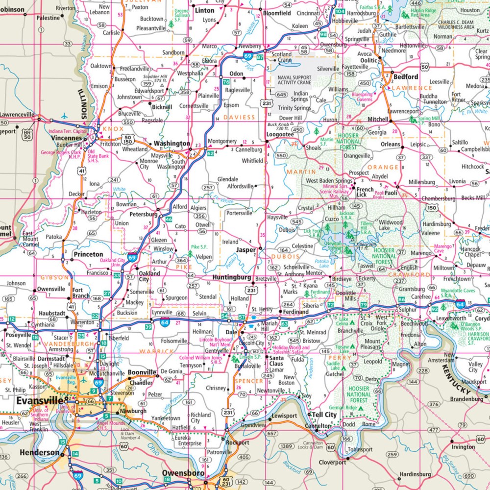
Hit the road like a true Hoosier with the Indiana State Highway Folded Map by Rand McNally! Known as the “Crossroads of America,” Indiana is packed with scenic drives, charming towns, and hidden gems, and this easy-to-read map ensures you won’t miss a thing. Forget relying on small screens—plan your trip confidently with clear views of every Interstate, U.S., state, and county highway, plus parks, airports, and must-see points of interest.
Perfect for road trips, this map shows mileage, driving times, and includes a detailed index and simple legend for quick navigation. Want to discover something off the beaten path? Don’t skip Monroe Lake, a peaceful and lesser-known getaway perfect for a lakeside stop.
Regularly updated, printed in vibrant full color, and sized for easy folding, the Rand McNally Indiana State Highway Map is your ultimate travel companion, combining accuracy, convenience, and fun to make every Indiana adventure unforgettable.
SKU: SKU:RMCUSIN
View full details