1
/
of
1
USGS
Indian Lands in the United States - Satellite Image
Indian Lands in the United States - Satellite Image
Regular price
$24.95 USD
Regular price
Sale price
$24.95 USD
Unit price
/
per
Couldn't load pickup availability
Share
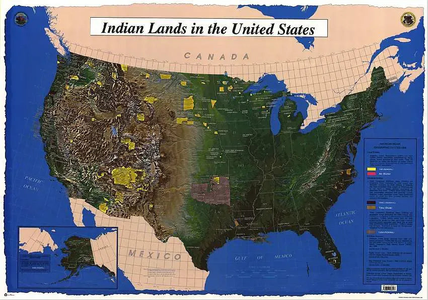
44" x 31" U.S. wall map with a satellite terrain image as the base map, showing and labelling indian tribes, outline of states with abbreviations, and latitude and longitude markings shown as well. Compiled in 1998.
Articles
SKU: SKU:USG5683
View full details