DeLorme
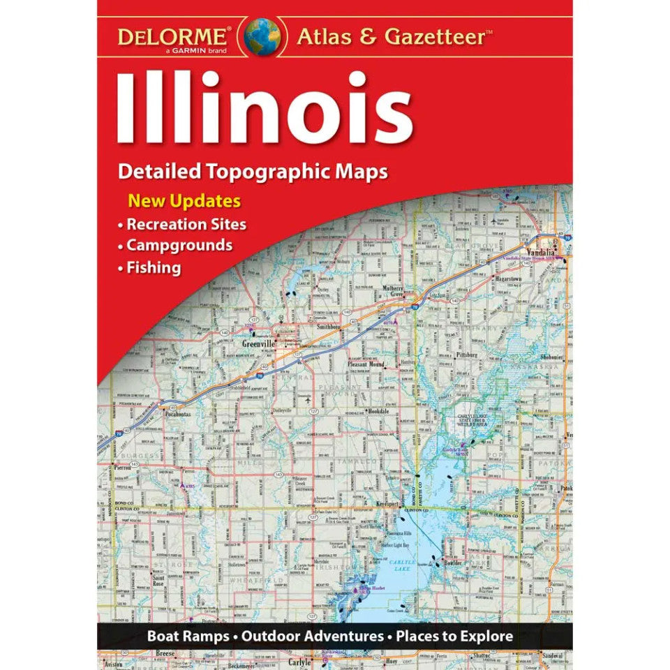
Illinois Topographic Atlas & Gazetteer by DeLorme
Illinois Topographic Atlas & Gazetteer by DeLorme
Couldn't load pickup availability
Share
Ready to trade crowded screens for winding trails, scenic backroads, and hidden outdoor gems? The Illinois Topographic Atlas & Gazetteer by DeLorme is your ticket to exploring the Prairie State beyond the beaten path!
Forget folding and refolding paper maps or hoping your phone has a signal. This convenient, book-bound atlas keeps detailed, full-color topographic maps at your fingertips, making it easy to plan routes, compare destinations, and discover your next outdoor adventure without draining your battery.
Explore the spectacular sandstone bluffs and forested trails of Starved Rock State Park, then venture toward Shawnee National Forest for rugged hiking, scenic overlooks, and the famous Garden of the Gods. Illinois also offers excellent fishing, boating, camping, and wildlife watching, with plenty of backroads and lesser-known recreation areas waiting to be discovered.
An extensive index helps you find towns, historic landmarks, scenic drives, trailheads, boat ramps, and prime fishing spots. Latitude/longitude grids support GPS navigation, while handy insets cover major cities and state lands.
Whether you're hiking, paddling, camping, or planning a weekend road trip, this DeLorme Illinois Topographic Atlas & Gazetteer is a must-have companion for exploring the great outdoors!
SKU: SKU:DELIL
View full details