Rand McNally
Illinois State Highway Laminated Map by Rand McNally - Easy to Fold
Illinois State Highway Laminated Map by Rand McNally - Easy to Fold
Couldn't load pickup availability
Share
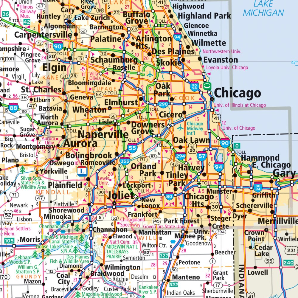
Hit the road with confidence using the Illinois State Highway Laminated Map by Rand McNally, designed to make your trip smoother from start to finish. With its durable, heavy-duty lamination, this easy-to-fold map lets you plan your route, jot notes, and wipe it clean for repeated use—perfect for road trips, weekend getaways, or exploring the Prairie State like a pro.
Illinois boasts over 16,000 miles of highways, and this map highlights every major route, county line, and key point of interest. Beyond the popular stops, discover hidden gems like Cahokia Mounds, a fascinating UNESCO World Heritage Site that often flies under the radar. The full-color, tear-resistant design folds neatly to display just the section you need, while a quick-reference legend and city index keep navigation simple. Whether you’re a lifelong resident or a first-time traveler, this laminated map is your ultimate companion for exploring Illinois with ease.
SKU: SKU:RMCUSILE
View full details