Rand McNally
Illinois State Highway Folded Map by Rand McNally - Easy to Read
Illinois State Highway Folded Map by Rand McNally - Easy to Read
Couldn't load pickup availability
Share
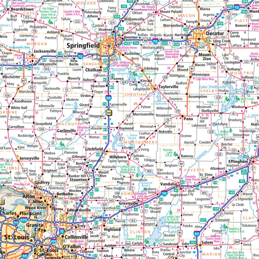
Hit the road through the "Land of Lincoln" with confidence using the Illinois State Highway Folded Map by Rand McNally! Forget squinting at tiny screens—this easy-to-read map puts the entire state’s highways, county roads, and points of interest right at your fingertips, making trip planning a breeze. Whether you’re plotting a weekend getaway or a cross-state adventure, you’ll appreciate the clear labeling of Interstates, U.S., state, and county highways, plus mileage and driving times for stress-free navigation.
Discover hidden gems like the Cahokia Mounds, a fascinating UNESCO World Heritage site that most travelers miss, or plan stops at state parks, airports, and quirky roadside attractions along the way. With a detailed index, easy-to-use legend, and vibrant full-color print, this map is perfect for quick reference on the go. Compact, reliable, and updated regularly, the Rand McNally Illinois map ensures every Illinois road trip is smooth, fun, and fully explored.
SKU: SKU:RMCUSIL
View full details