DeLorme
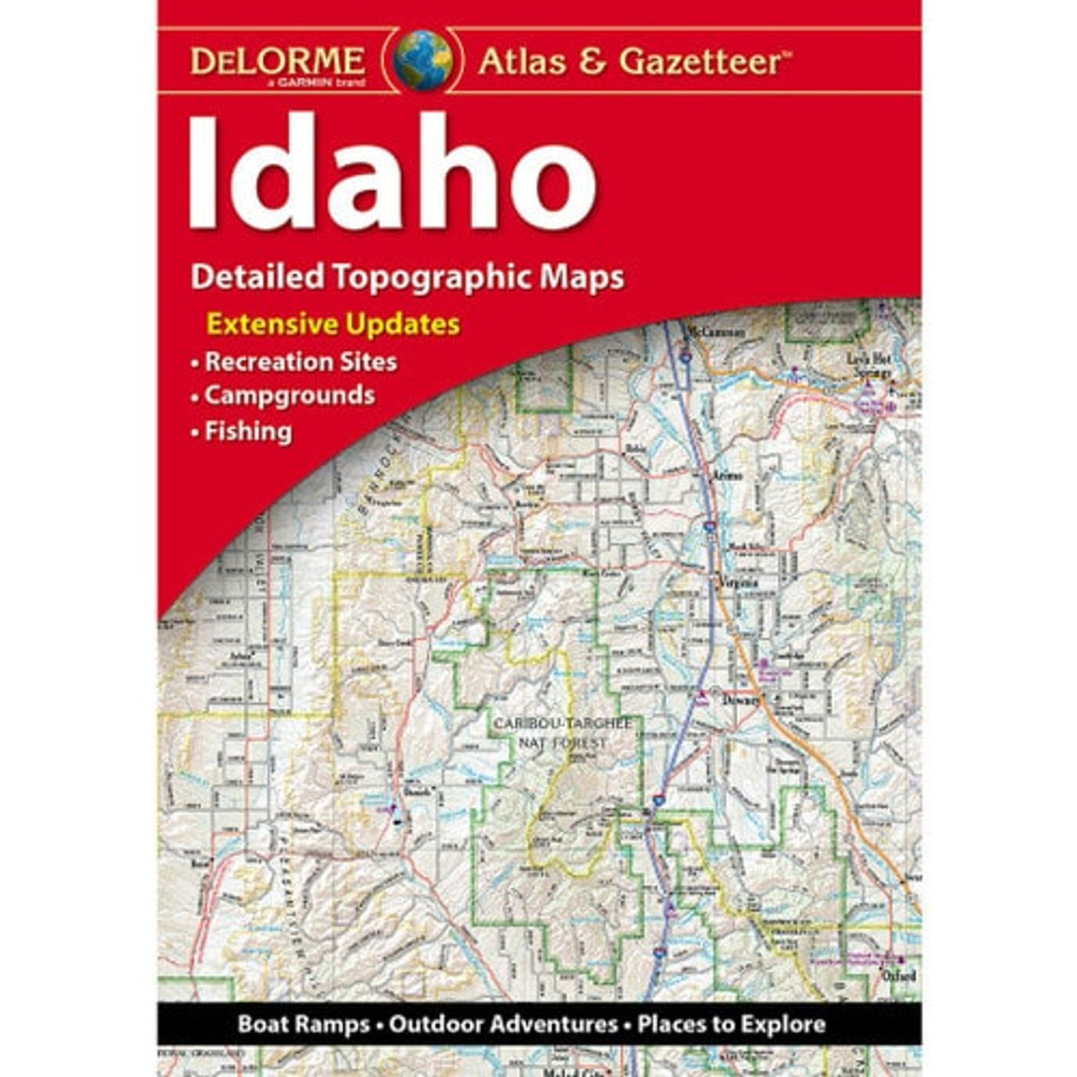
Idaho Topographic Atlas & Gazetteer by DeLorme
Idaho Topographic Atlas & Gazetteer by DeLorme
Couldn't load pickup availability
Share
Chase mountain views, discover hidden trailheads, and find your next fishing hole in the Gem State! The Idaho Topographic Atlas & Gazetteer by DeLorme is your ticket to bigger adventures and backcountry discoveries.
Why rely on a tiny phone screen, spotty cell service, or a stubborn folded map? This handy, 80-page bound atlas puts Idaho’s great outdoors at your fingertips, with detailed, full-color topographic maps you can flip through, compare, and reference wherever the road or trail takes you. Explore scenic drives, historic sites, recreation areas, boat ramps, prime fishing spots, and trails waiting to be discovered.
Head for the spectacular lakes and mountain scenery of Lake Coeur d’Alene, one of Idaho’s most popular recreational destinations, or explore the rugged landscapes and outdoor playground of Hells Canyon National Recreation Area. From forested trails to rushing rivers and wide-open wilderness, the Gem State offers adventures for hikers, campers, anglers, and road-trippers alike.
An extensive index, GPS-friendly latitude/longitude grid, major-city inset maps, and state-land coverage make navigating easier. Pack the DeLorme Idaho Topographic Atlas & Gazetteer and turn your next getaway into an unforgettable adventure!
SKU: SKU:DELID
View full details