1
/
of
1
Green Trails
Hurricane Ridge, WA - Green Trails Map 134S
Hurricane Ridge, WA - Green Trails Map 134S
Regular price
$14.00 USD
Regular price
Sale price
$14.00 USD
Unit price
/
per
Couldn't load pickup availability
Share
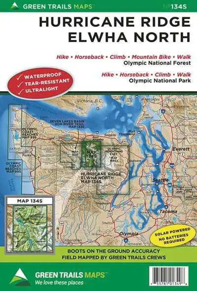
Hurricane Ridge, WA - Green Trails Map 134S is an excellent topographic hiking and reference map of Hurricane Ridge area on the Olympic Peninsula. Shows trails, roads, cross country ski routes, campsites, many natural features and contour lines. This is part of the Green Trail map series, but is a foldout map at a larger scale. Waterproof and lightweight!
Coverage also includes the north part of the Elwha River from Cascade Rock to Hayes River and Mount Dana.
18" x 24"
1:50,000 / 1:24,000
80 / 40 foot contour interval
Coverage also includes the north part of the Elwha River from Cascade Rock to Hayes River and Mount Dana.
18" x 24"
1:50,000 / 1:24,000
80 / 40 foot contour interval
SKU: SKU:GRE134S
View full details