1
/
of
1
Gem Trek Maps
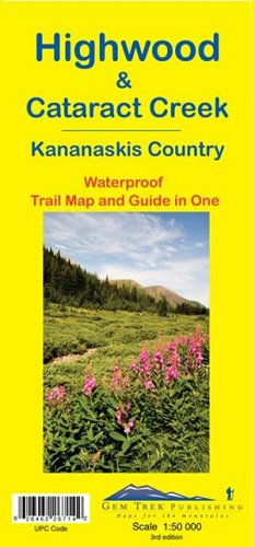
Highwood & Cataract Creek Map
Highwood & Cataract Creek Map
Regular price
$13.95 USD
Regular price
Sale price
$13.95 USD
Unit price
/
per
Couldn't load pickup availability
Share
This topographical shaded relief map covers the area in the southern portion of the Canadian Rockies north and south of Highways 40 and 541. Areas covered include the High Rock Range, Elbow-Sheep Provincial Park, Don Getty Wildland Provincial Park and Blue Rock Wildland Provincial Park. Information about hiking, mountain biking and easy scrambles is on the back side of the map, along with an enlargement of the Johnson Creek trail area.
Scale = 1:50,000
25 meter contour interval
SKU: SKU:GEM26714
View full details