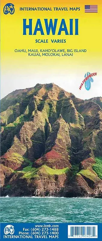
International Travel Maps
Hawaiian Islands Travel Map
Hawaiian Islands Travel Map
Couldn't load pickup availability
Share
Presenting the Hawaii Travel & Reference Map ITM, an essential companion for navigating the splendor of the Hawaiian Islands. As the state of Hawaii sprawls across vast oceanic expanses, this map offers a comprehensive depiction of its major islands with great detail.
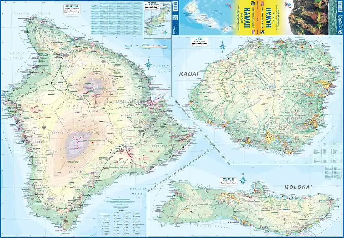
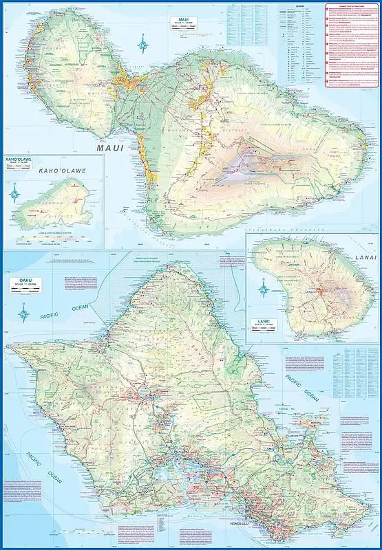
Crafted on waterproof paper, this Hawaii Travel & Reference Map showcases each major island individually. Side 1, features Oahu, Maui, Lanai, and Kaho'Olawe at scales of approximately 1:100,000 each, while Side 2 encompasses Big Island, Kauai, Molokai, and Ni'ihau, offering scales ranging from 1:120,000 to 1:300,000. The intricate artwork on each island highlights their unique features, ensuring clarity and precision in exploration.
Distinguished beaches like Waikiki Beach, Kaanapali Beach, and Hapuna Beach beckon travelers to their shores, promising sun-drenched days and azure waters.
The back cover serves as an informative inset, illustrating the spatial relationships between all the islands, facilitating planning for visitors to this paradisiacal realm. Touristic sites, major accommodation centers, and points of interest are also marked, guiding adventurers to discover the wonders of Hawaii with ease.
Measuring 27" x 39", this Hawaii Travel & Reference Map provides a comprehensive legend including roads classification, rivers and lakes, national parks, airports, highways, and more, empowering travelers with essential information for their Hawaiian odyssey. Whether embarking on a scenic drive along the Hana Highway or exploring the volcanic landscapes of Hawaii Volcanoes National Park, the Hawaii Travel & Reference Map is the ultimate tool for unlocking the treasures of these enchanting islands.
SKU: SKU:ITMHI
View full details