NOAA
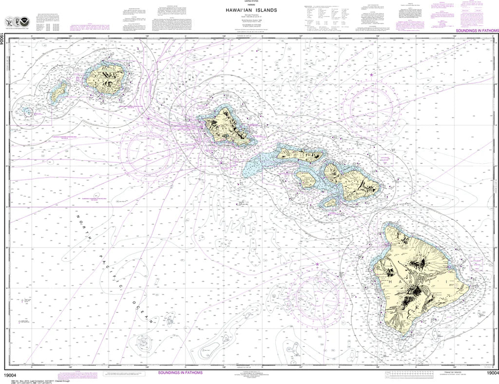
Hawai'ian Islands Nautical Chart #19004
Hawai'ian Islands Nautical Chart #19004
Couldn't load pickup availability
Share
At a scale of 1:600,000 and printed at 47" x 35", this beautifully detailed chart highlights Honolulu Harbor, Pearl Harbor, the Alenuihāhā Channel between Maui and Hawai‘i Island, and key approaches across the central Pacific. It also reflects the historic significance of Pearl Harbor, a pivotal WWII site that shaped naval operations across the Pacific theater. Rich coastal detailing across the archipelago makes this chart ideal for wall display, navigation reference, and appreciating the dramatic geography of Hawaii’s volcanic island chain in the Pacific region.
(View more detail in nautical chart viewer)
Please note: For decorative and reference purposes only, NOAA has officially sunset traditional paper nautical charts. These legacy charts are no longer updated or approved for primary navigation.
SKU: SKU:NOS19004
View full details