DeLorme
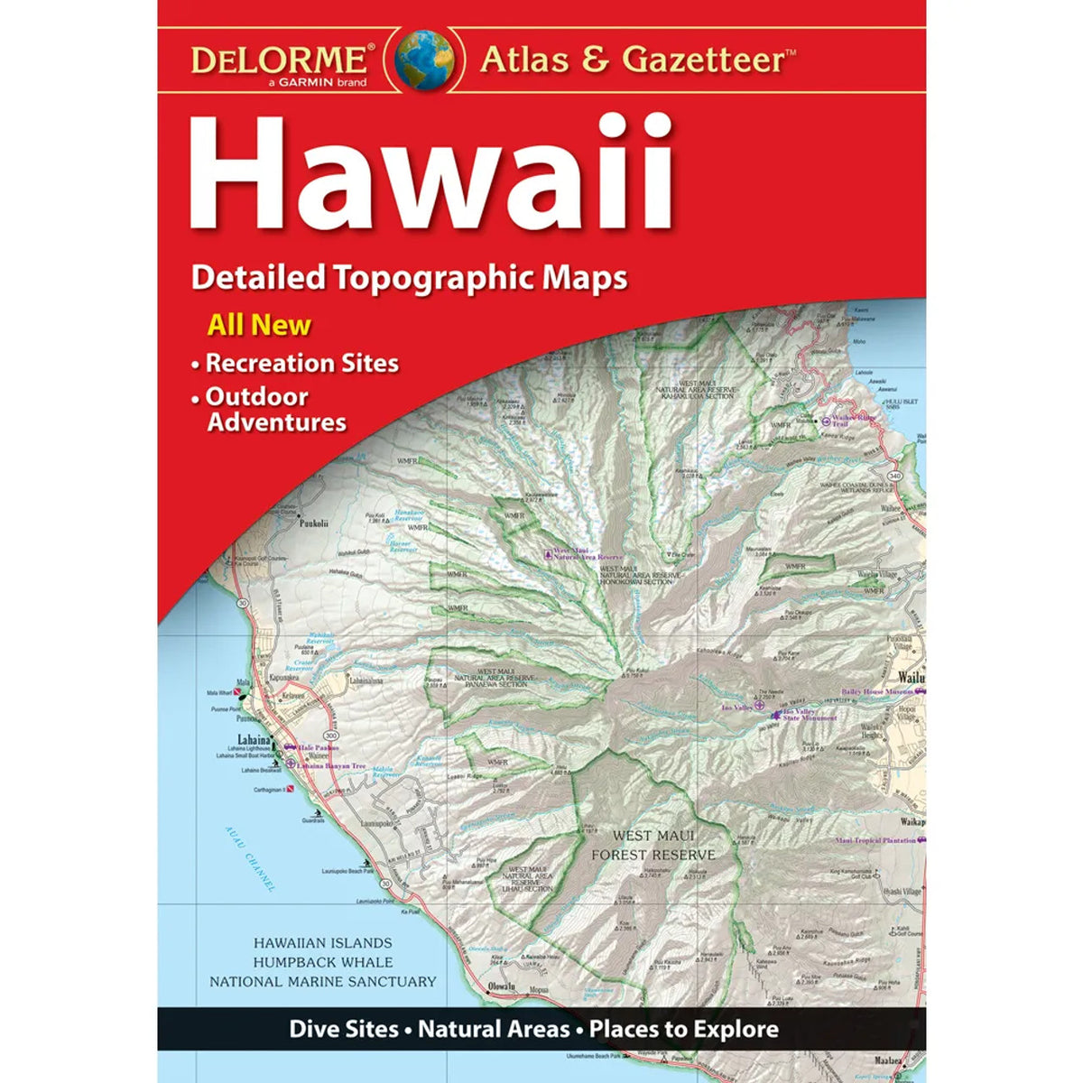
Hawaii Topographic Atlas & Gazetteer by DeLorme
Hawaii Topographic Atlas & Gazetteer by DeLorme
Couldn't load pickup availability
Share
Trade the tiny phone screen for big island adventures! The Hawaii Topographic Atlas & Gazetteer by DeLorme is your ticket to discovering the Aloha State beyond the resort beaches.
From lush rainforest trails to volcanic landscapes and secluded fishing spots, this 51-page atlas helps you explore Hawaii with confidence. Unlike online maps that can leave you stranded without cell service or awkward folded maps that never seem to refold properly, this handy bound guide keeps detailed, full-color topographic maps organized and ready whenever adventure calls.
Discover the spectacular scenery of Haleakalā National Park, hike through dramatic volcanic terrain, or venture toward popular outdoor escapes like Hawaiʻi Volcanoes National Park and the stunning Nā Pali Coast State Wilderness Park on Kauaʻi. Find scenic drives, historic sites, trailheads, boat ramps, recreation areas, and prime fishing spots while uncovering the islands’ incredible geographic variety.
An extensive index makes finding destinations easy, while latitude/longitude grids help you navigate with GPS. Convenient inset maps highlight major cities and state lands, too.
Whether you're hiking, camping, sightseeing, or planning your next island road trip, this DeLorme Hawaii Topographic Atlas & Gazetteer is a practical companion for exploring paradise beyond the beaten path!
SKU: SKU:DELHI
View full details