1
/
of
1
NOAA
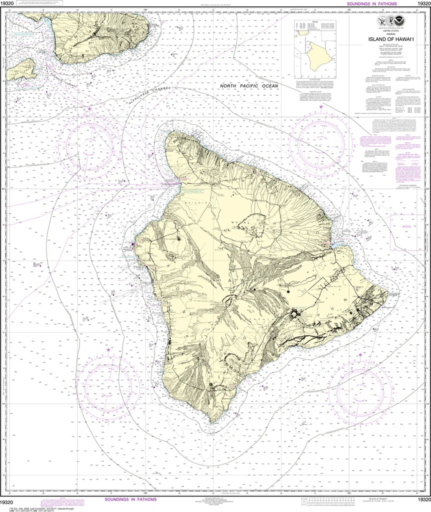
Hawaii (The Big Island) Nautical Chart #19320
Hawaii (The Big Island) Nautical Chart #19320
Regular price
$26.95 USD
Regular price
Sale price
$26.95 USD
Unit price
/
per
Couldn't load pickup availability
Share
Explore Hawaii’s Big Island like a mariner—where fiery volcanoes meet deep blue Pacific waters. Chart your course across Kona, Hilo, and the dramatic Kohala Coast with this detailed Hawaii (The Big Island) Nautical Chart #19320. Covering the island’s full windward and leeward coasts, this chart reveals Hilo Bay harbors, Kailua-Kona anchorages, and the rugged shores near Hawaii Volcanoes National Park. Sail past Mauna Loa and Mauna Kea’s towering silhouettes while tracing historic routes near Kealakekua Bay, where Captain Cook first landed in 1779.
Perfect for sailors, collectors, and island dreamers, this chart blends precision with Pacific adventure. Printed at 35" x 42" with a 1:250,000 scale, it offers a broad yet detailed navigational overview of the Big Island’s coastal waters and offshore approaches. Highlights include lava rock coastlines, shifting currents, offshore reefs, and key navigation markers that guide safe passage between volcanic bays and open Pacific waters surrounding the island. A striking reference piece for home, office, or chart room display.
(View more detail in nautical chart viewer)
Please note: For decorative and reference purposes only, NOAA has officially sunset traditional paper nautical charts. These legacy charts are no longer updated or approved for primary navigation.
SKU: SKU:NOS19320
View full details