Rand McNally
Hawaii State Highway Folded Map by Rand McNally - Easy to Read
Hawaii State Highway Folded Map by Rand McNally - Easy to Read
Couldn't load pickup availability
Share
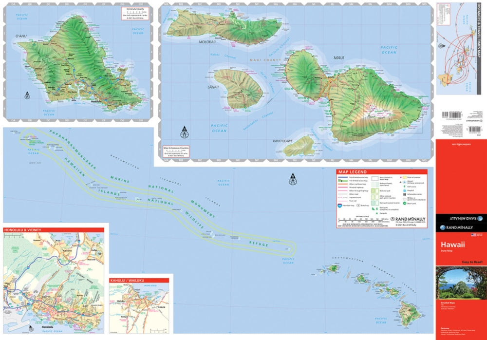
Trade screen glare for sunshine with the Hawaii Easy to Read State Highway Map by Rand McNally—your perfect travel companion for exploring the Aloha State! Unlike digital maps that vanish with spotty signal, this trusty fold-out guide keeps you on course from Oahu’s surf towns to the Big Island’s lava flows, no Wi-Fi required.
Rand McNally’s legendary accuracy and easy-to-read design make planning your island road trip a breeze. You’ll find every highway, park, airport, and point of interest clearly marked, with mileage charts and driving times to keep your adventure on schedule.
Discover hidden gems like the lush Waipio Valley Lookout—one of Hawaii’s most breathtaking, lesser-known viewpoints—tucked amid emerald cliffs and black sand beaches. Printed in vibrant full color with a large, legible typeface, this durable folded map is the reliable, road-tested way to see Hawaii’s beauty the old-school (and most fun) way!
SKU: SKU:RMCUSHI
View full details