1
/
of
1
National Geographic
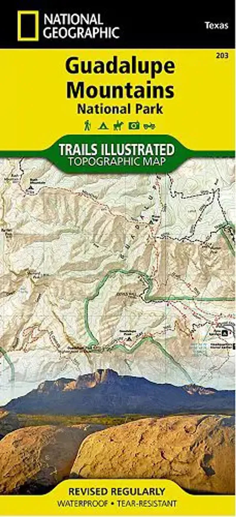
Guadalupe Mountains National Park Map
Guadalupe Mountains National Park Map
Regular price
$14.95 USD
Regular price
Sale price
$14.95 USD
Unit price
/
per
Couldn't load pickup availability
Share
Guadalupe Mountains National Park Map # 203 by National Geographic is a topographical and recreational map of this West Texas mountain region. The Guadalupe Mountains contain the highest peak in Texas. Also the location of the historic Butterfield Overland Mail stagecoach line.
In this park there is a large underground system of caves - and the Carlsbad Caverns National Park lies just to the east.
- 1" = .6 mile / 1 cm = .35 kilometer
- Waterproof / Tear resistant