National Geographic
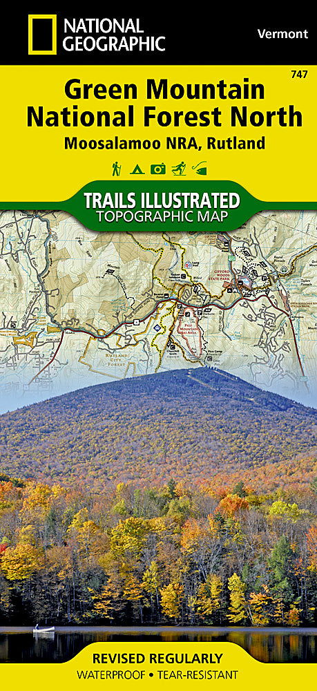
Green Mountain National Forest North Trails Illustrated Topo Map #747
Green Mountain National Forest North Trails Illustrated Topo Map #747
Couldn't load pickup availability
Share
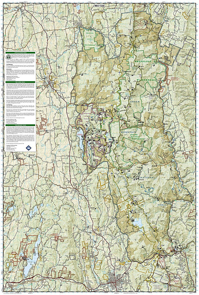
National Geographic’s Green Mountain National Forest North Trails Illustrated Topographic Map #747 is the ultimate companion for exploring one of Vermont’s most stunning landscapes. Covering over 400,000 acres of forest, peaks, rivers, and trails, this detailed map highlights must-see attractions such as the Moosalamoo National Recreation Area, the iconic Killington and Pico Mountain ski areas, and the pristine Silver Lake State Park.
Rich with history, the Green Mountains once fueled Vermont’s early logging and marble industries, while today they are celebrated as a haven for outdoor recreation and natural beauty. The map features portions of the legendary Long Trail and Appalachian Trail, guiding hikers through rugged wilderness, waterfalls, and scenic ridgelines. Visitors can also enjoy drives along the Lake Champlain and Mad River scenic byways, dotted with historic covered bridges.
Waterproof, tear-resistant, and GPS-ready, this map ensures you’ll navigate Vermont’s Green Mountains with confidence and adventure.
SKU: SKU:TRA747
View full details