International Travel Maps
Great Lakes Area Travel & Reference Map by ITMB
Great Lakes Area Travel & Reference Map by ITMB
Couldn't load pickup availability
Share
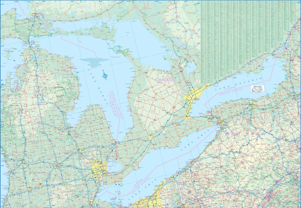
Discover the power, beauty, and scale of North America’s inland seas with this double sided Great Lakes Area Travel & Reference Map by ITMB. Covering the world’s largest freshwater lake system at a detailed 1:850,000 scale, it’s an essential companion for road trippers, armchair explorers, and geography lovers alike.
The Great Lakes are a natural wonder and a vital corridor of history and industry. From the towering shores of Lake Superior, so vast it could swallow Great Britain, to the iconic skyline along Lake Michigan in Chicago, this map captures a region so large it can take days to drive around. Follow the Saint Lawrence Seaway as it carries ocean-going ships deep into the continent, or trace routes through legendary destinations like Niagara Falls, Mackinac Island, and the bustling waterfronts of Toronto and Detroit.
Rich with historical significance from westward expansion, forts, and early trade routes, the map clearly displays cities, countryside, and points of interest. A comprehensive legend highlights highways, main roads, rivers, national parks, airports, and more, making this map both practical and endlessly fascinating to explore.
SKU: SKU:ITMGREATLAKES
View full details