1
/
of
1
NOAA
Grays Harbor (WA Coast) Nautical Chart #18502
Grays Harbor (WA Coast) Nautical Chart #18502
Regular price
$26.95 USD
Regular price
Sale price
$26.95 USD
Unit price
/
per
Couldn't load pickup availability
Share
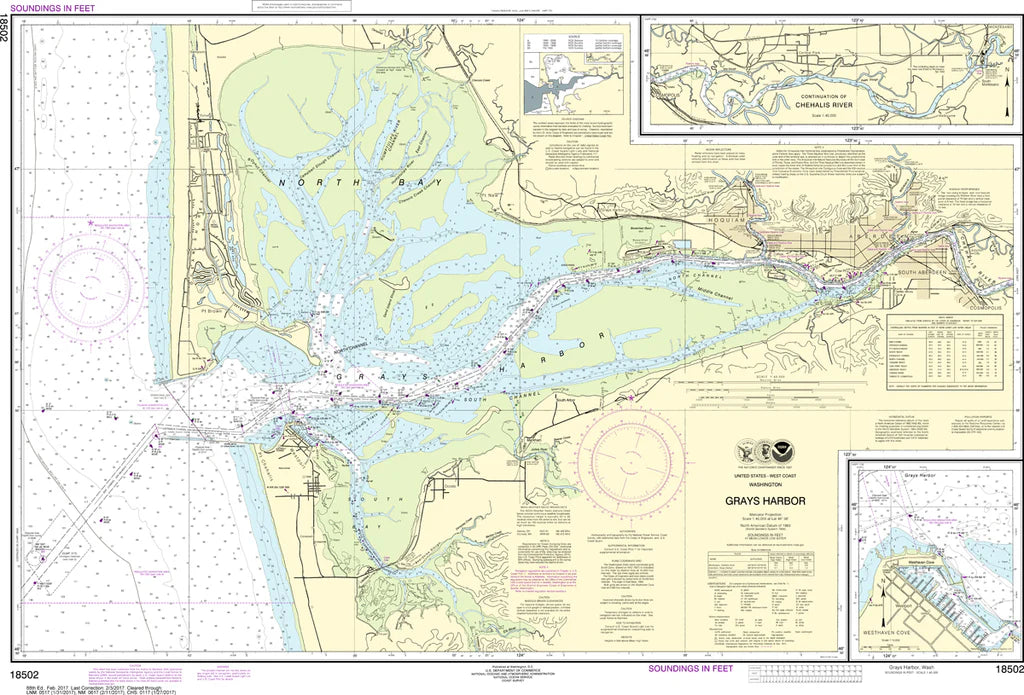
Covering Grays Harbor at an impressive 1:40,000 scale and measuring a generous 40" x 27", the Grays Harbor (WA Coast) Nautical Chart #18502 showcases the harbor entrance, the cities of Aberdeen and Hoquiam, Westport, Ocean Shores, the Chehalis River, navigation channels, jetties, shoals, and surrounding coastal waters. It's a favorite for boaters, anglers, coastal explorers, and anyone who appreciates Washington's rich seafaring heritage.
Grays Harbor has played a vital role since the late 1800s, when it became one of the Pacific Northwest's busiest lumber-exporting ports, helping fuel the region's remarkable growth.
Whether displayed in your home, office, cabin, or marina, this classic NOAA chart makes an eye-catching conversation piece and a thoughtful gift for anyone who loves the Washington coast and nautical history.
(View more detail in nautical chart viewer)
Please note: For decorative and reference purposes only, NOAA has officially sunset traditional paper nautical charts. These legacy charts are no longer updated or approved for primary navigation.
SKU: SKU:NOS18502
View full details