National Geographic
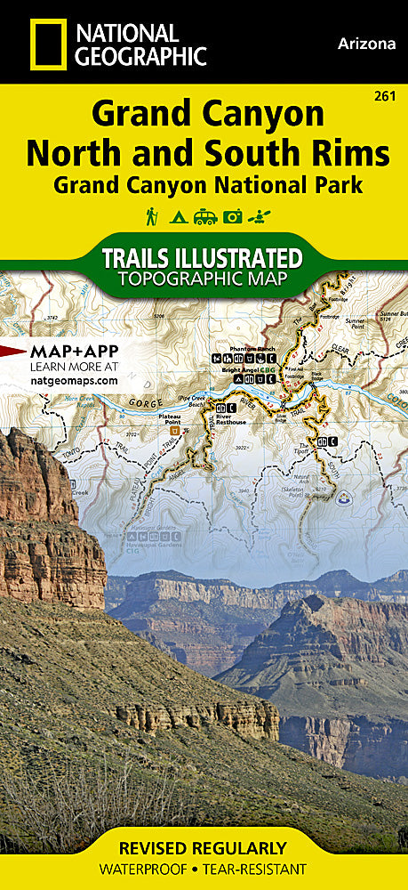
Grand Canyon North & South Rims Trails Illustrated Topo Map #261
Grand Canyon North & South Rims Trails Illustrated Topo Map #261
Couldn't load pickup availability
Share
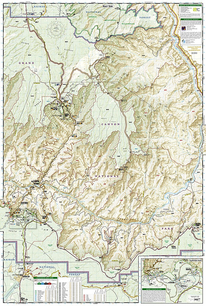
Discover the awe-inspiring beauty of one of the world’s greatest natural wonders with the Grand Canyon North & South Rims Trails Illustrated Topographic Map #261 by National Geographic. Covering the heart of Grand Canyon National Park, this waterproof, tear-resistant map highlights iconic trails and destinations including Bright Angel Trail, the historic Grand Canyon Village, and the dramatic North Rim overlooks. Visitors will also find detailed routes to popular attractions like the Kaibab Trail, the Colorado River corridor, and the West Rim Trail.
Steeped in history, the Grand Canyon has been home to Indigenous peoples for thousands of years and was first designated as a national monument by President Theodore Roosevelt in 1908 before becoming a national park in 1919. With its vivid geology, deep cultural roots, and unmatched vistas, it remains a UNESCO World Heritage Site.
Whether you’re day hiking, backpacking, or simply exploring scenic viewpoints, this map is your essential guide to navigating the grandeur of Arizona’s most famous landmark.
SKU: SKU:TRA261
View full details