National Geographic
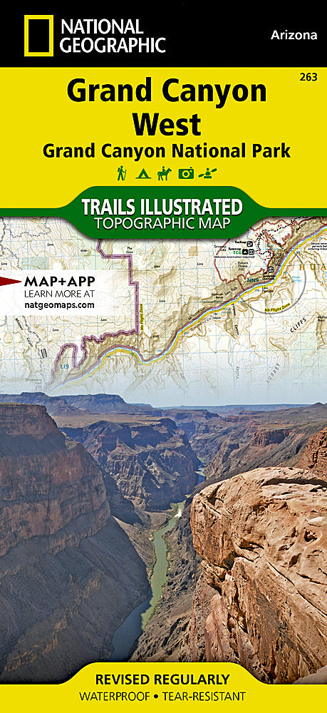
Grand Canyon National Park West Trails Illustrated Topo Map #263
Grand Canyon National Park West Trails Illustrated Topo Map #263
Couldn't load pickup availability
Share
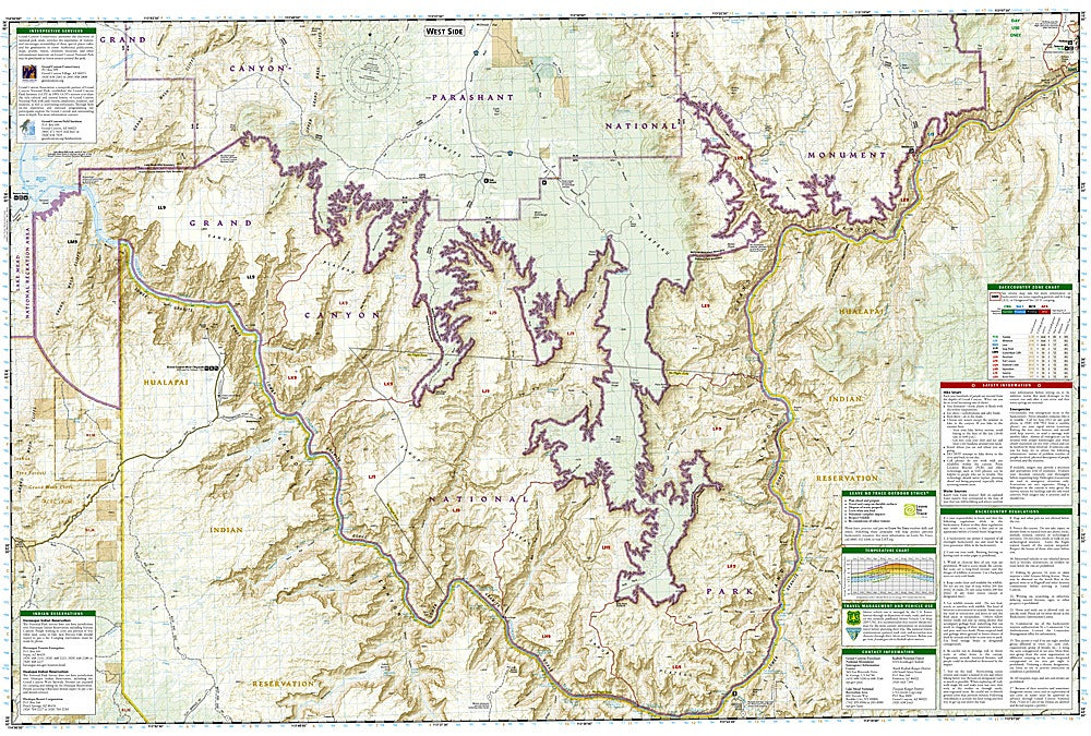
Discover the wild beauty of one of America’s greatest natural wonders with the Grand Canyon National Park West Trails Illustrated Topographic Map #263 by National Geographic. Covering the remote western stretches of the canyon, this detailed map highlights stunning attractions such as the Powell Plateau, Toroweap Overlook, and the Colorado River’s dramatic western corridor. Beyond the park, you’ll also find surrounding landscapes like Kaibab National Forest, Parashant National Monument, and the tribal lands of the Hualapai and Havasupai Nations, whose histories and traditions are deeply tied to the canyon.
This map provides expert detail for adventurers, from clearly marked trails and river mileage to backcountry use zones, camping areas, and scenic viewpoints. Printed on waterproof, tear-resistant “Backcountry Tough” paper, it’s built to withstand rugged exploration. Whether hiking, biking, rafting, or horseback riding, this map is an essential guide to exploring the timeless landscapes and rich history of Grand Canyon’s awe-inspiring west.
SKU: SKU:TRA263
View full details