1
/
of
2
National Geographic
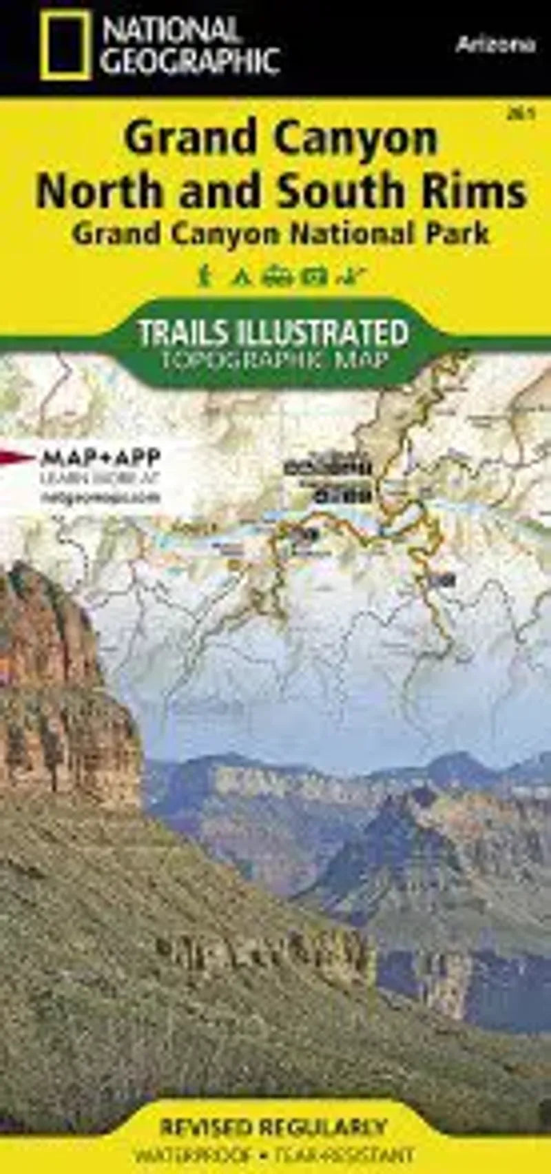
Grand Canyon National Park Bright Angel Canyon Map
Grand Canyon National Park Bright Angel Canyon Map
Regular price
$14.95 USD
Regular price
Sale price
$14.95 USD
Unit price
/
per
Couldn't load pickup availability
Share
The Grand Canyon Bright Angel Trail North & South Rims map is a waterproof, topographic hiking map provides an enhanced scale and detail for the highest visitation area of the park surrounding the Grand Canyon South Rim Visitor Center and the Bright Angel Trail. Designed with a wide range of visitors in mind, the map features detailed and easy to read trails, accurate road network, campgrounds, scenic overlooks and points of interests, visitor centers and facilities, color coded bus stops with routes.
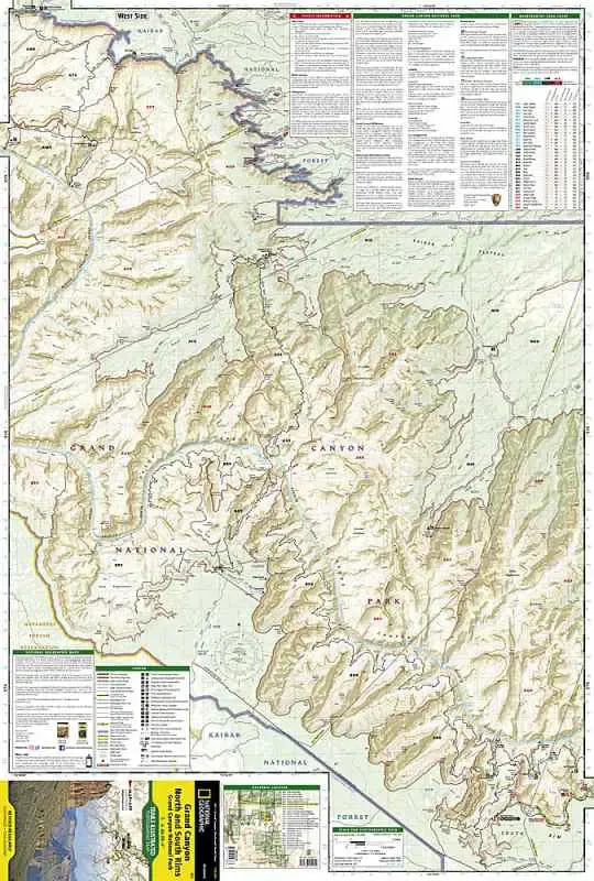
Coverage highlights: Colorado River miles 60-98, North and South Rim visitor centers, Grand Canyon Village, Grand Canyon / National Geographic IMAX, Tusayan, Grand Canyon Railroad Station, Bright Angel Trail (plus elevation profile), West Rim Trail, Kaibab Trail, Arizona Trail, Grand Canyon Lodge, and more.
Coverage highlights: Colorado River miles 60-98, North and South Rim visitor centers, Grand Canyon Village, Grand Canyon / National Geographic IMAX, Tusayan, Grand Canyon Railroad Station, Bright Angel Trail (plus elevation profile), West Rim Trail, Kaibab Trail, Arizona Trail, Grand Canyon Lodge, and more.