National Geographic
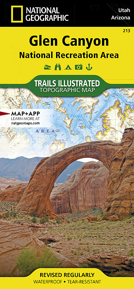
Glen Canyon National Recreation Area Trails Illustrated Topo Map #213
Glen Canyon National Recreation Area Trails Illustrated Topo Map #213
Couldn't load pickup availability
Share
Discover the breathtaking beauty of Glen Canyon National Recreation Area with National Geographic’s Trails Illustrated Topographic Map #213. Covering more than 1.2 million acres of dramatic desert landscapes and the winding Colorado River, this map is your essential guide to exploring a land rich in history and natural wonders.
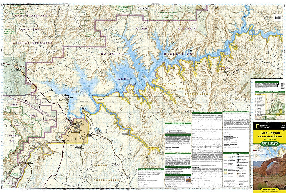
Highlights include Lake Powell, where striking blue waters contrast against red sandstone cliffs, Rainbow Bridge National Monument, one of the world’s largest natural bridges sacred to Native cultures, and the Vermilion Cliffs National Monument, famous for its colorful rock formations and rare California condors. Once home to ancient Ancestral Puebloan peoples, the area is dotted with archaeological sites and historic trails.
With no maintained hiking paths, the map’s shaded relief, contour lines, and labeled features make navigation easier by land or water. Waterproof and tear-resistant, this durable map is perfect for adventures in one of the Southwest’s most unforgettable landscapes.
SKU: SKU:TRA213
View full details