National Geographic
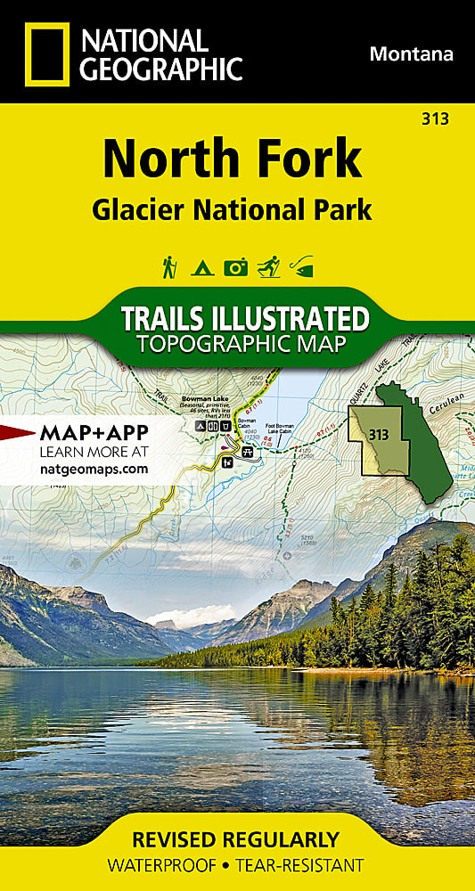
Glacier NP - North Fork Trails Illustrated Topographic Map #313
Glacier NP - North Fork Trails Illustrated Topographic Map #313
Couldn't load pickup availability
Share
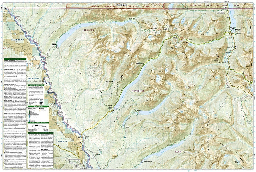
Discover Glacier National Park’s wild and untamed beauty with National Geographic’s North Fork Trails Illustrated Topographic Map #313. Covering one of the park’s most remote regions, this waterproof, tear-resistant map is your essential guide to a landscape defined by rugged peaks, sparkling lakes, and rich history. Highlights include Bowman Lake, a favorite for canoeing and backcountry camping, Lake McDonald Valley with its iconic lodges and glacial geology, and Goat Haunt, a historic border crossing once traveled by early explorers and fur traders.
The North Fork area offers trails that connect with legendary routes like the Continental Divide Trail and Pacific Northwest Trail, making it a must-have for serious hikers. Detailed contour lines, elevations, and notes on seasonal bridges and crossings ensure safe, informed navigation. Whether you’re planning a backpacking adventure, a fishing trip, or wildlife viewing, this map provides the knowledge you need to explore one of Montana’s most remarkable wilderness frontiers.
SKU: SKU:TRA313
View full details