National Geographic
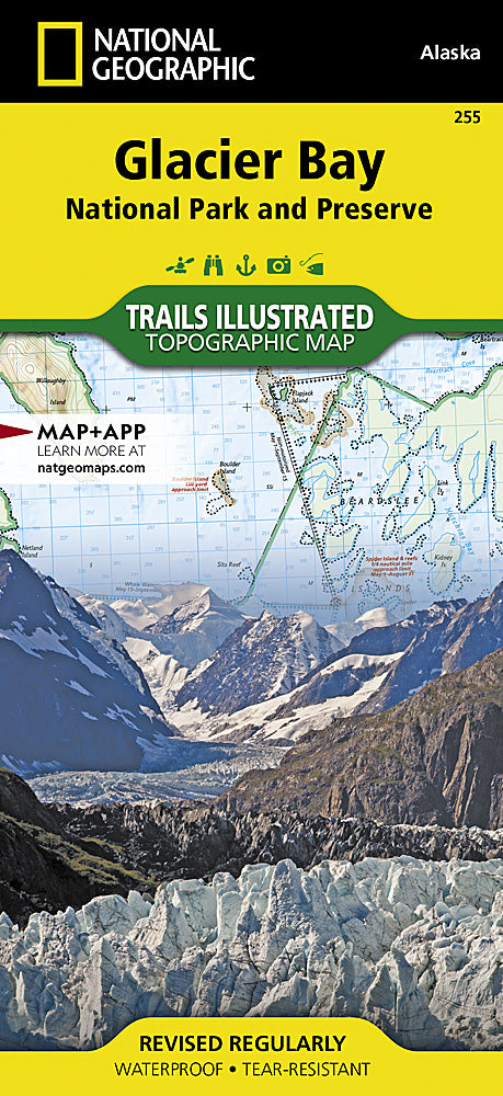
Glacier Bay National Park Trails Illustrated Topographic Map #255
Glacier Bay National Park Trails Illustrated Topographic Map #255
Couldn't load pickup availability
Share
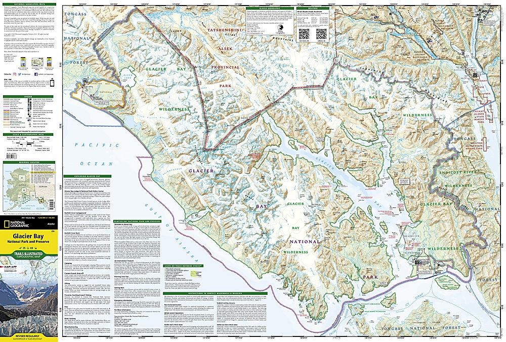
National Geographic’s Glacier Bay National Park Trails Illustrated Topographic Map #255 is the ultimate guide to exploring one of Alaska’s most breathtaking natural wonders. Covering the vast wilderness of Glacier Bay National Park and Preserve, this waterproof, tear-resistant map highlights must-see attractions like the jaw-dropping Johns Hopkins Glacier, the vibrant town of Gustavus (gateway to the park), and the wildlife-rich Icy Strait, where humpback whales, orcas, and sea lions are frequently spotted.
Steeped in history, Glacier Bay was once completely covered by ice just over 200 years ago; today, visitors can witness its rapidly retreating glaciers and evolving landscapes firsthand. The map also includes portions of Tongass National Forest, nearby state marine parks, and countless waterways perfect for kayaking, boating, and paddling adventures.
With detailed trail routes, campgrounds, scenic insets, and navigational aids, this map is a trusted companion for hikers, paddlers, and nature lovers seeking to discover Alaska’s rugged panhandle.
SKU: SKU:TRA255
View full details