National Geographic
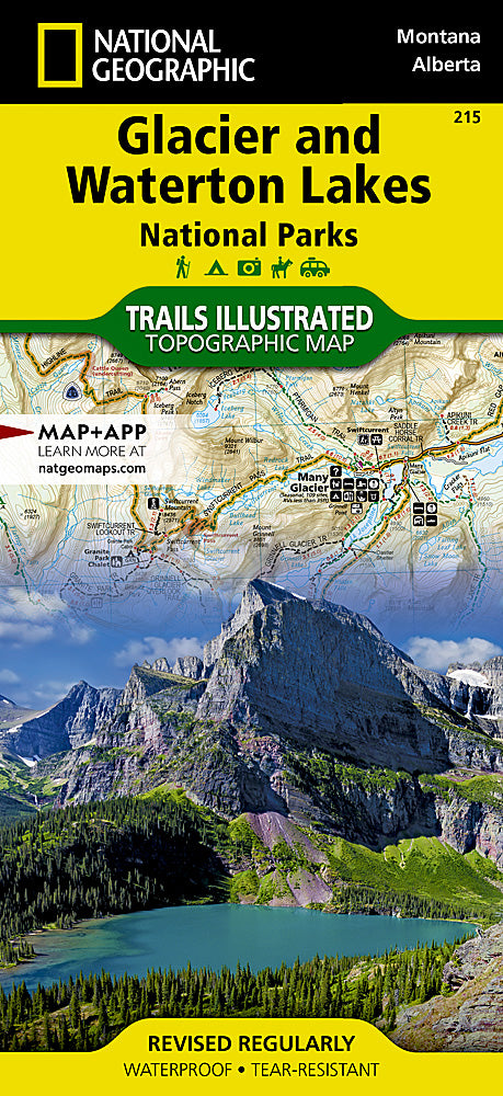
Glacier and Waterton Lakes National Parks Trails Illustrated Map #215
Glacier and Waterton Lakes National Parks Trails Illustrated Map #215
Couldn't load pickup availability
Share
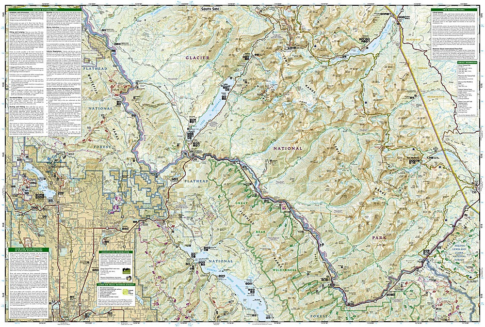
National Geographic’s Glacier and Waterton Lakes National Parks Trails Illustrated Topographic Map #215 is the ultimate companion for exploring one of the most breathtaking cross-border wilderness areas in North America. Covering Montana’s Glacier National Park and Alberta’s Waterton Lakes National Park, this waterproof, tear-resistant map highlights over 800 miles of trails, from the world-famous Going-to-the-Sun Road to scenic routes around Lake McDonald and St. Mary Lake. Adventure seekers can discover top attractions such as Many Glacier, the dramatic Logan Pass on the Continental Divide, and the serene Waterton Valley.
Steeped in history, these parks were jointly designated the world’s first International Peace Park in 1932, symbolizing friendship between the United States and Canada. The map includes trailheads, campgrounds, interpretive trails, and backcountry details, making it ideal for hikers, bikers, anglers, and explorers. With precise contour lines, UTM grids for GPS use, and durable construction, this map ensures you can confidently navigate the Crown of the Continent.
SKU: SKU:TRA215
View full details