National Geographic
Gates of the Arctic National Park Trails Illustrated Topo Map #257
Gates of the Arctic National Park Trails Illustrated Topo Map #257
Couldn't load pickup availability
Share
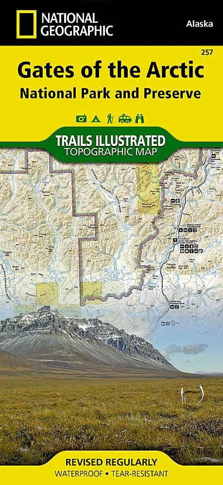
Explore the untouched wilderness of northern Alaska with National Geographic’s Trails Illustrated Topographic Map #257 for Gates of the Arctic National Park and Preserve. This essential map is your guide to a land where roads and marked trails are nearly nonexistent, highlighting the park’s dramatic peaks, winding rivers, and pristine backcountry.
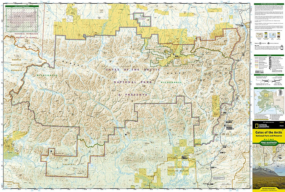
Discover the majestic Arrigetch Peaks, hike along the scenic John and Noatak Wild and Scenic Rivers, or visit the historic Anaktuvuk Pass, home to Iñupiat communities for centuries. Rich in history and geography, the map covers the Brooks Range, Schwatka and Endicott Mountains, Yukon Flats, and Kanuti National Wildlife Refuge, while pinpointing campgrounds, bush airstrips, and nearby communities like Wiseman and Coldfoot.
The reverse side features a full Alaska map with national parks, trip planning tips, safety guidelines, and backcountry insights. Printed on waterproof, tear-resistant paper with a full UTM grid, this map ensures you navigate Gates of the Arctic safely and confidently.
SKU: SKU:TRA257
View full details