

National Forest Service
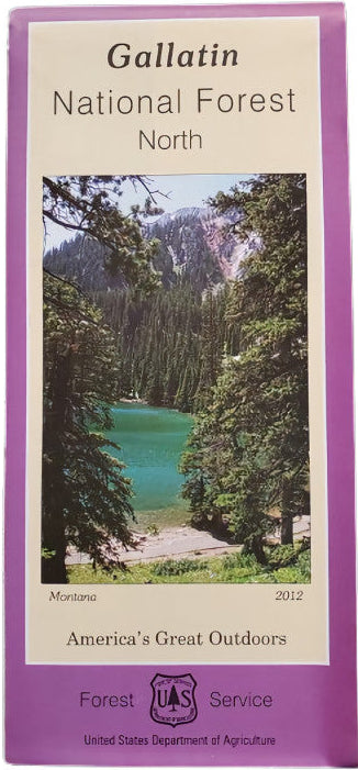
Gallatin National Forest (North) Service Map
Gallatin National Forest (North) Service Map
Couldn't load pickup availability
Share
Discover the breathtaking beauty of Montana with the Gallatin National Forest (North) Service Map. Nestled northeast of Bozeman, this expansive forest spans over 1.8 million acres of rugged peaks, lush valleys, and alpine meadows.
The map highlights two iconic ranges: the Crazy Mountains, known for dramatic spires, and the Bridger Range, a favorite for hikers and skiers. Visit popular attractions like Fairy Lake, Sacagawea Peak, and the Bangtail Divide Trail. Spot native wildlife including elk, black bears, and mountain goats, alongside wildflowers and dense forests of lodgepole pine and Douglas fir.
Rich in Native American history and outdoor adventure, Gallatin National Forest invites exploration year-round. Whether you're planning a scenic drive or backcountry trek, this detailed map is your essential guide to the wonders of Big Sky Country. Plan your Montana adventure today!
SKU: SKU:NFMTGN
View full details