

National Forest Service
Fremont-Winema National Forest - Oregon Outback Forest Service Map
Fremont-Winema National Forest - Oregon Outback Forest Service Map
Couldn't load pickup availability
Share
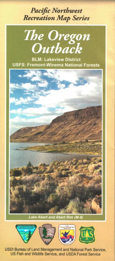
Explore the wild beauty of Oregon’s high desert with the Oregon Outback Forest Service Map, part of the Pacific Northwest Recreation Map Series. This detailed topographic map guides you through millions of acres of public lands in south-central Oregon, including the rugged Hart Mountain National Antelope Refuge, the mysterious Crack in the Ground, and the shimmering playas of the Alvord Desert.
Located east of the Cascades and stretching toward the Nevada border, this remote region is known for its ancient volcanic geology, sprawling sagebrush steppe, and wildlife like pronghorn antelope, golden eagles, and Western fence lizards. Once home to Indigenous peoples and early pioneers, the Outback’s vastness preserves its deep cultural history.
Whether you’re planning a scenic drive, backpacking trip, or birding adventure, this map is your trusted companion. Don’t just dream of solitude—experience the magic of Oregon’s untamed Outback. Grab your map and head for the horizon!
SKU: SKU:NFOROO
View full details