1
/
of
2
Michelin
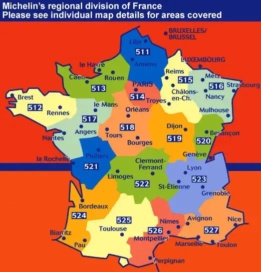
Franche-Comte Regional Map
Franche-Comte Regional Map
Regular price
$12.95 USD
Regular price
Sale price
$12.95 USD
Unit price
/
per
Couldn't load pickup availability
Share
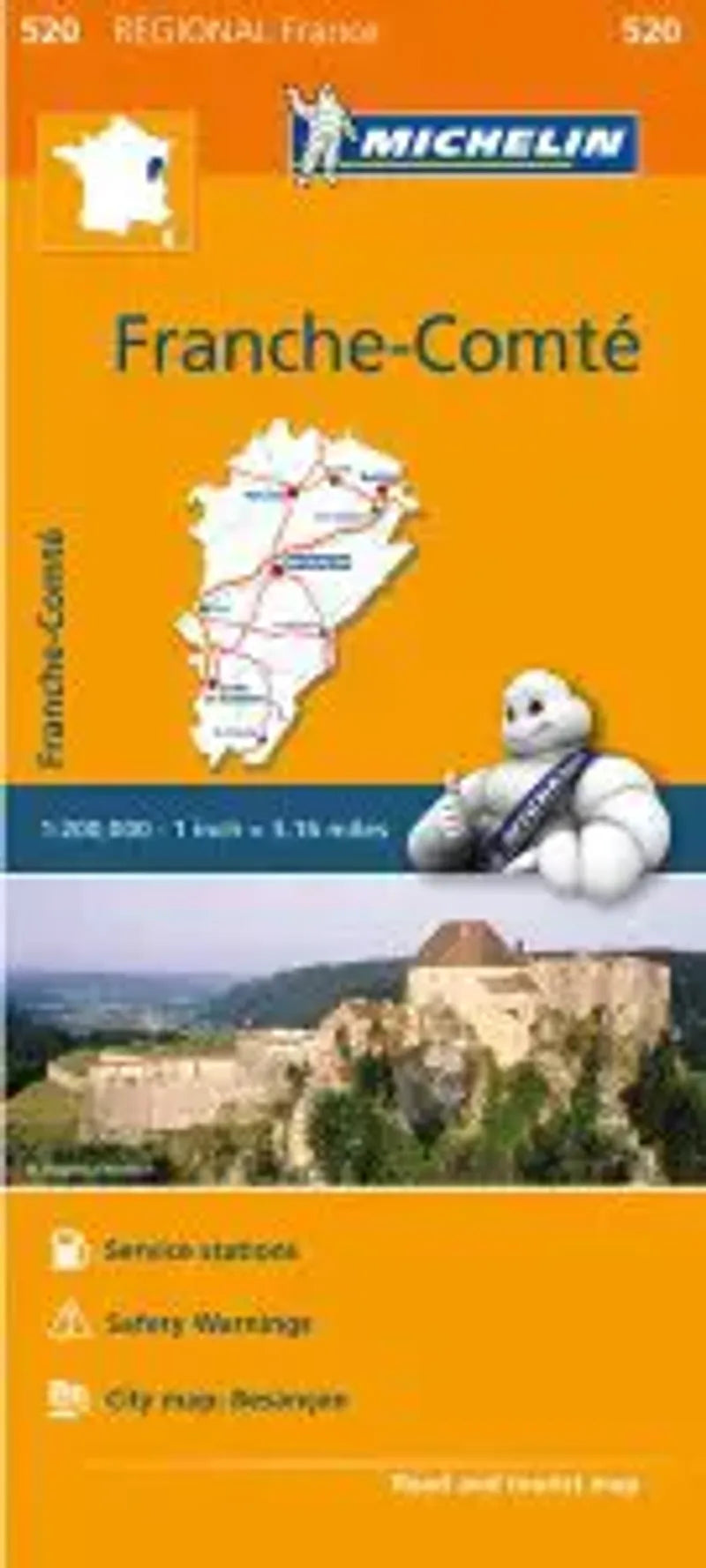
Michelin Map 520 of the Franche-Comte Region in France.
Color shading is used to illustrate changes in elevation, roads are clearly marked, shows service stations and speed cameras and also includes a time/distance chart.
Includes inset of Besancon. Extents of area covered: Vesoul, Lons le-Saunier, Pontarllier and Belfort.
With impeccable road detail, scenic routes, clear country boundaries and shaded relief - this map is essential for planning!
Michelin has existed for over 100 years now. Today, their maps offer some of the best detail on where to go, how to get there, where to eat and where to stay.
Their products deliver the same promise of quality and consistency we expect from them as one of the world's most trusted brands.
SKU: SKU:MIC520
View full details