National Geographic
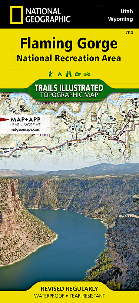
Flaming Gorge National Recreation Area Trails Illustrated Map #704
Flaming Gorge National Recreation Area Trails Illustrated Map #704
Couldn't load pickup availability
Share
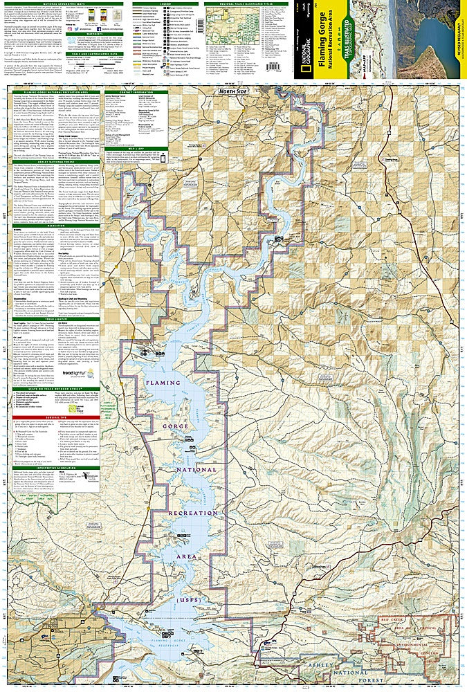
Adventure awaits in Flaming Gorge National Recreation Area with National Geographic’s Trails Illustrated Topographic Map #704. From Wyoming’s rugged high desert to the forested Uinta Mountains of Utah, this map unlocks a playground of red cliffs, turquoise waters, and hidden canyons.
Hike the dramatic trails of Firehole Canyon, explore the historic Lucerne Valley, or marvel at the unique rock formations of Sheep Creek Canyon Geological Area. This iconic region is steeped in history, once home to Native American tribes and a passage for early pioneers along the Green River. The map’s detailed topography, contour lines, shaded relief, and elevations make navigation a breeze, while clearly marked trails, scenic byways, campgrounds, river access points, and boat launches ensure every adventure is within reach.
Printed on durable, waterproof “Backcountry Tough” paper and complete with a full UTM grid for GPS use, this map is the essential companion for explorers ready to experience Flaming Gorge up close.
SKU: SKU:TRA704
View full details