National Geographic
Everglades National Park Trails Illustrated Topographic Map #243
Everglades National Park Trails Illustrated Topographic Map #243
Couldn't load pickup availability
Share
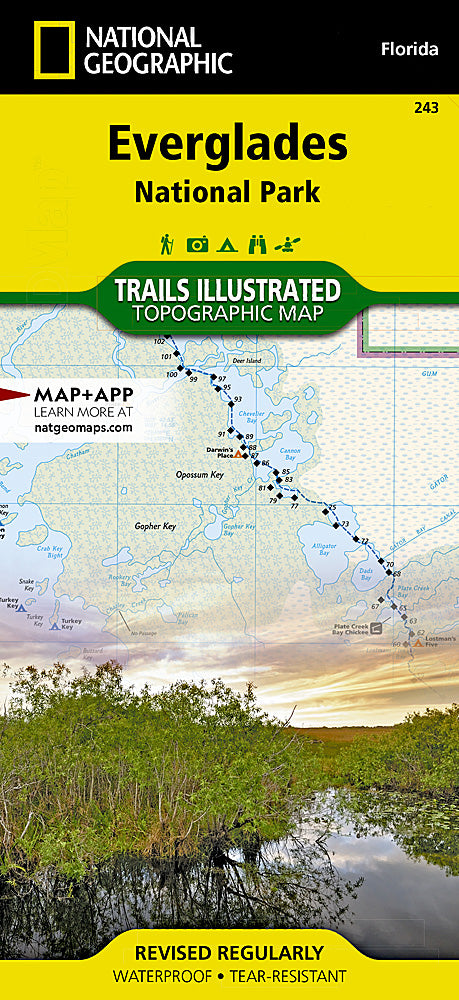
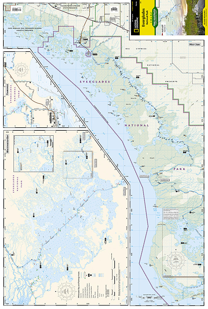
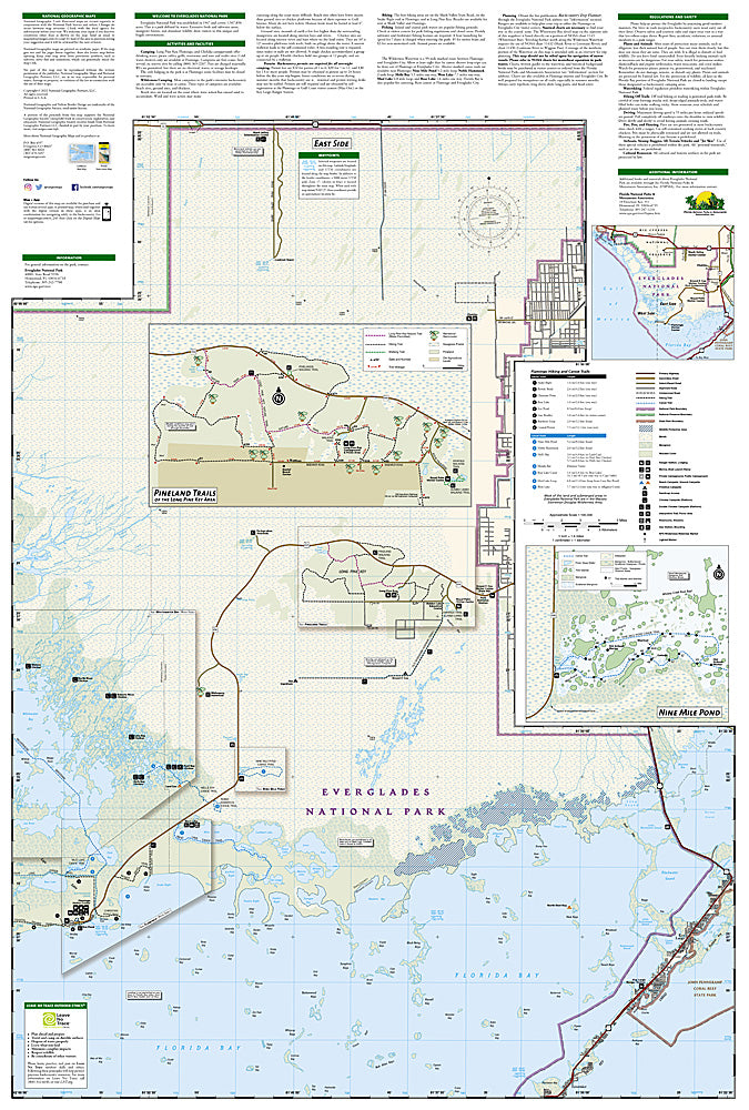
National Geographic’s Everglades National Park Trails Illustrated Topographic Map #243 is the ultimate companion for exploring one of America’s most unique landscapes. Covering the park and nearby gems like John Pennekamp Coral Reef State Park, Big Cypress National Preserve, and the Ten Thousand Islands, this waterproof, tear-resistant map highlights the best ways to experience this subtropical wilderness. Discover top attractions such as Flamingo, the starting point for epic canoe adventures; Whitewater Bay, a haven for fishing and boating; and the 99-mile Wilderness Waterway, a legendary paddling route dotted with backcountry campsites and chickees.
The Everglades is more than a natural wonder—it’s a UNESCO World Heritage Site and a vital refuge for wildlife, from manatees to the rare Florida panther. With detailed trail mileage, mapped canoe routes, wildlife viewing areas, and visitor facilities, this map makes it easy to navigate the vast “River of Grass” and uncover the rich history and ecosystems of Florida’s Everglades.
SKU: SKU:TRA243
View full details


