National Geographic
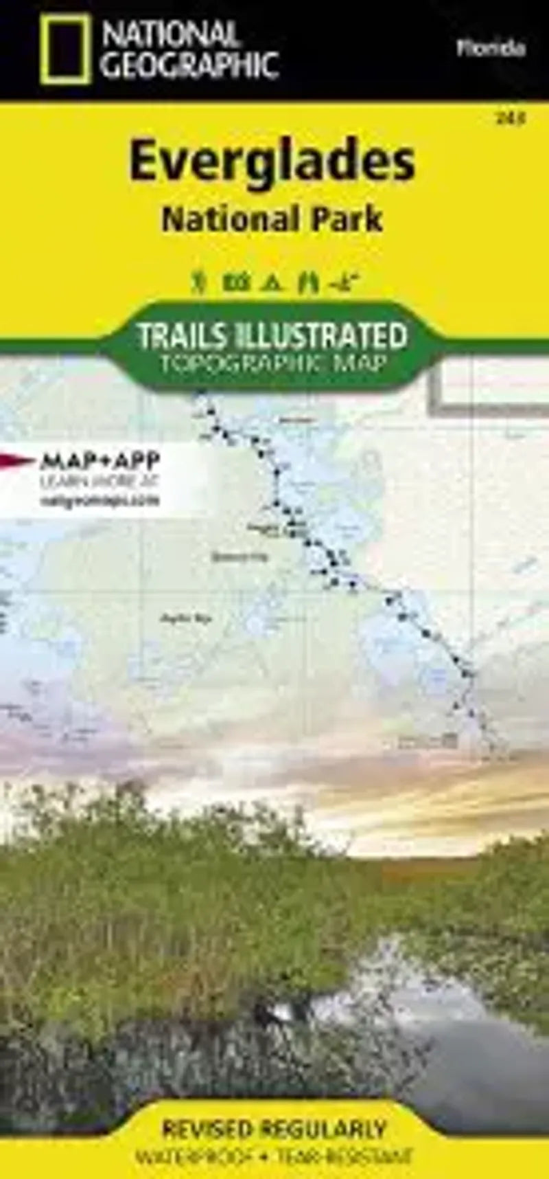
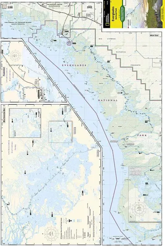
Everglades National Park Map
Everglades National Park Map
Couldn't load pickup availability
Share
The Trails Illustrated Everglades National Park map is the most comprehensive recreational guide for hiking, boating, paddling, biking, fishing, exploring, camping, and sightseeing in this unique national treasure. This two-sided map includes: Key Largo; Everglades City; Chokoloskee; portions of Big Cypress National Preserve; Fakahatchee Strand State Preserve; Cape Romano Ten Thousand Islands Aquatic Preserve; Shark Valley Tram Road; Old Ingraham highway and campsite; North Nest Key; West Lake Canoe Trail; Snake Bight Trail; Backcountry campsites, beach sites, ground sites, and chickees; detailed insets of Flamingo, Whitewater Bay, Pineland Trails of the Long Pine Key area, and Nine Mile Pond. The map also shows the entire Wilderness Waterway, from the Gulf Coast Visitor Center near Everglades City to its terminus beyond the Flamingo Visitor Center. Includes UTM grids for use with your GPS.