1
/
of
1
NOAA
Everett Harbor Nautical Chart #18444
Everett Harbor Nautical Chart #18444
Regular price
$26.95 USD
Regular price
Sale price
$26.95 USD
Unit price
/
per
Couldn't load pickup availability
Share
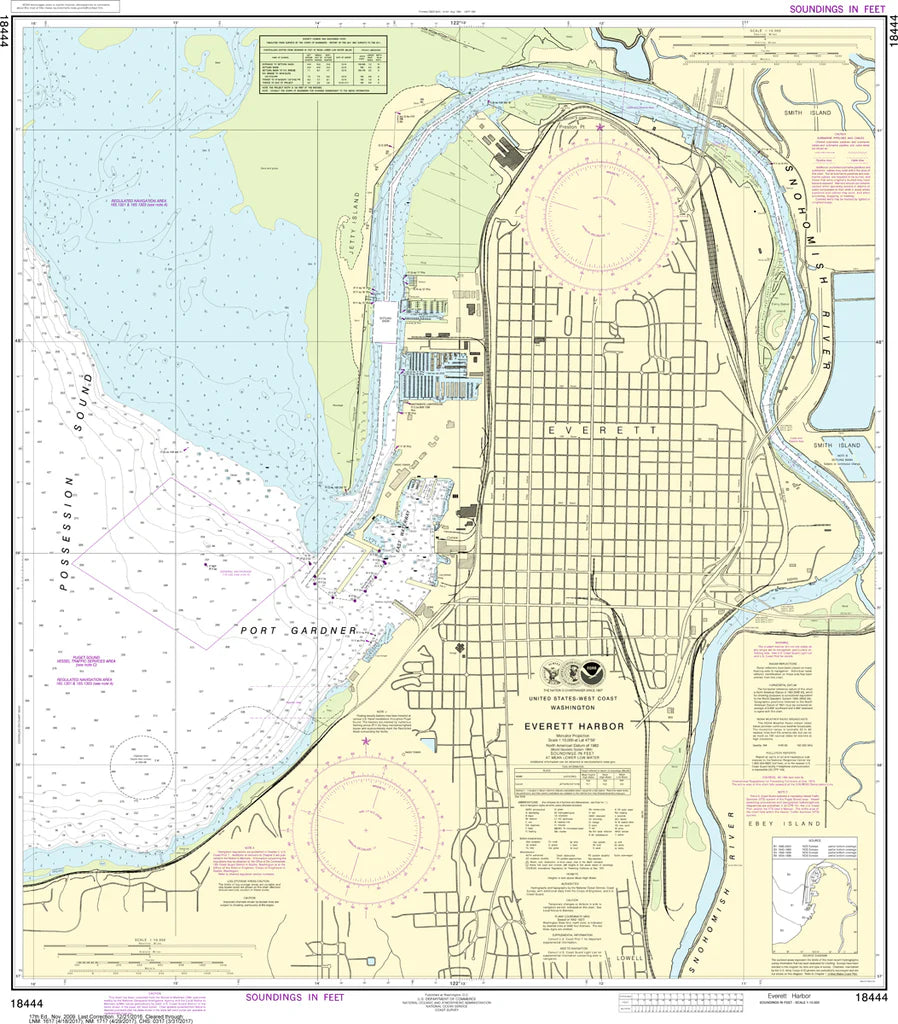
Chart the bustling heart of Puget Sound where industry meets open water—Everett Harbor Nautical Chart #18444 comes alive in this richly detailed nautical chart. From Port Gardner Bay and the Snohomish River delta to Naval Station Everett and nearby Paine Field aviation corridors, it captures every critical navigation detail. Freighters, ferries, and recreational boats share waters shaped by Everett’s timber boom history, once a major lumber shipping hub on the north Puget Sound.
With precise bathymetry and harbor structure at 32" x 37" and scale 1:10,000, this chart is ideal for collectors and coastal enthusiasts alike. Perfect for wall display, planning reference, and appreciating the intricate waterways of Washington’s working waterfront, it blends artistry with cartographic precision.
With precise bathymetry and harbor structure at 32" x 37" and scale 1:10,000, this chart is ideal for collectors and coastal enthusiasts alike. Perfect for wall display, planning reference, and appreciating the intricate waterways of Washington’s working waterfront, it blends artistry with cartographic precision.
(View more detail in nautical chart viewer)
Please note: For decorative and reference purposes only, NOAA has officially sunset traditional paper nautical charts. These legacy charts are no longer updated or approved for primary navigation.
SKU: SKU:NOS18444
View full details