NOAA
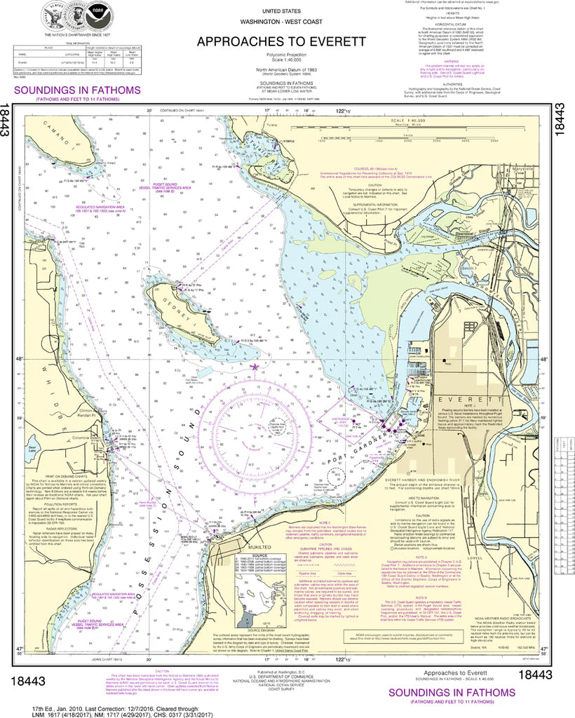
Everett (Approaches To) Nautical Chart #18443
Everett (Approaches To) Nautical Chart #18443
Couldn't load pickup availability
Share
Navigate one of Washington's busiest waterways with the Everett (Approaches To) Nautical Chart #18443! Covering the approaches to Everett at a scale of 1:40,000, this 20" x 24" nautical chart highlights key sections of Possession Sound, Port Gardner Bay, the Snohomish River entrance, Mukilteo, Hat Island, and nearby navigation channels.
You'll find buoys, depth soundings, shorelines, navigation aids, and coastal landmarks that have guided mariners through these waters for generations. The area played an important role in Washington's maritime history as Everett developed into a thriving lumber and shipping port during the late 1800s, helping fuel the region's remarkable growth.
Whether displayed on your wall, added to a nautical collection, or used as a fascinating coastal reference, this chart delivers timeless maritime appeal and classic NOAA detail.
(View more detail in nautical chart viewer)
Please note: For decorative and reference purposes only, NOAA has officially sunset traditional paper nautical charts. These legacy charts are no longer updated or approved for primary navigation.
SKU: SKU:NOS18443
View full details