Freytag & Berndt
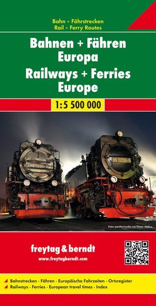
Europe Railways & Ferries Guide Map by Freytag & Berndt
Europe Railways & Ferries Guide Map by Freytag & Berndt
Couldn't load pickup availability
Share
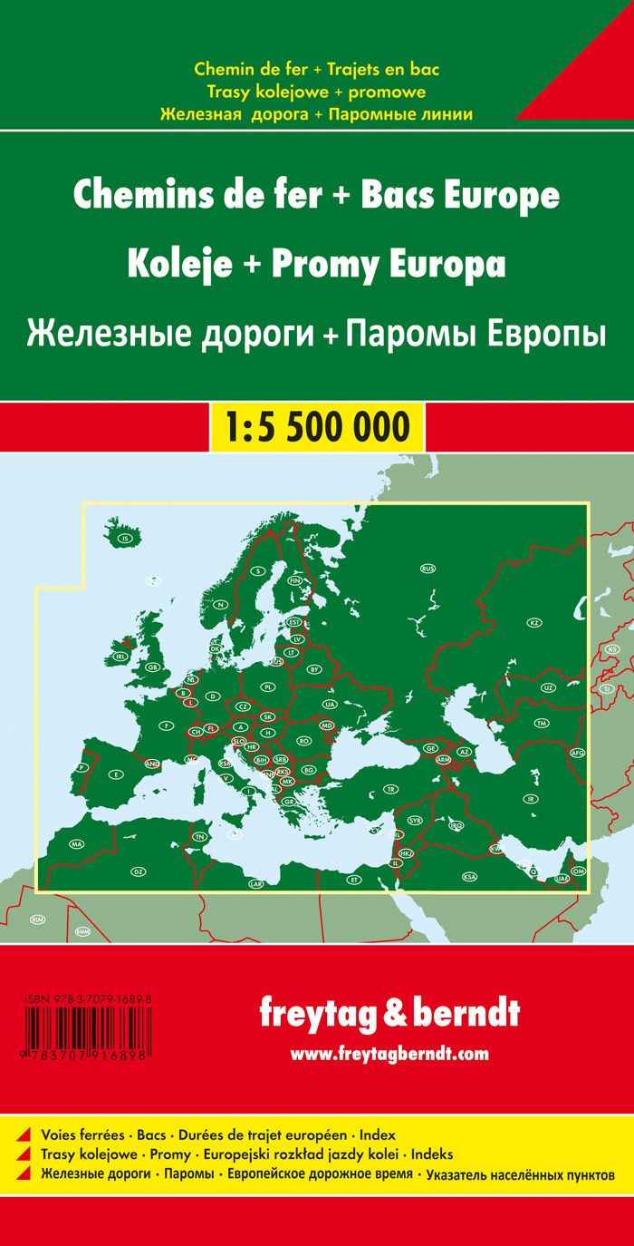
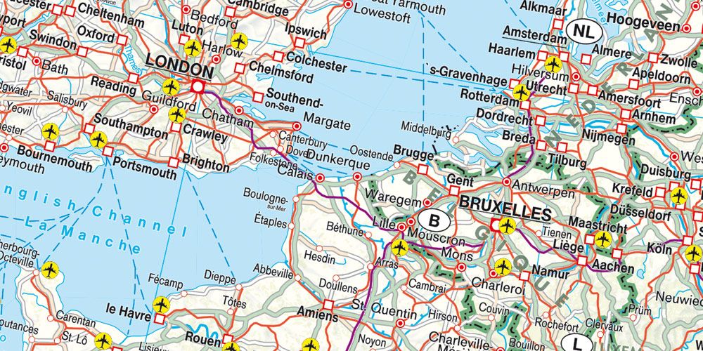
Plan your ultimate European adventure with the Freytag & Berndt Railways & Ferries Europe Guide Map at 1:5,500,000 scale. Covering everything from Portugal’s Atlantic coast to the Caspian edge of Central Asia, this map charts high-speed train routes, roads, airports, and passenger ferries across the continent.
Cruise through the Swiss Alps by rail, take the ferry from Stockholm to Helsinki, or explore Prague, once the heart of the Holy Roman Empire. The reverse side includes a convenient travel time chart between 49 major cities—perfect for planning connections from Rome’s Colosseum to Berlin’s Brandenburg Gate. This English-German bilingual map includes an extensive index and highlights cultural landmarks like castles, churches, spas, and museums.
Whether traveling by car, campervan, or Eurostar, this map makes navigation a breeze and invites you to discover Europe’s layered history and modern marvels—from ancient ruins to cutting-edge railways—all in one smart, foldable guide.
SKU: SKU:MAPFBEURRAIL
View full details