National Geographic
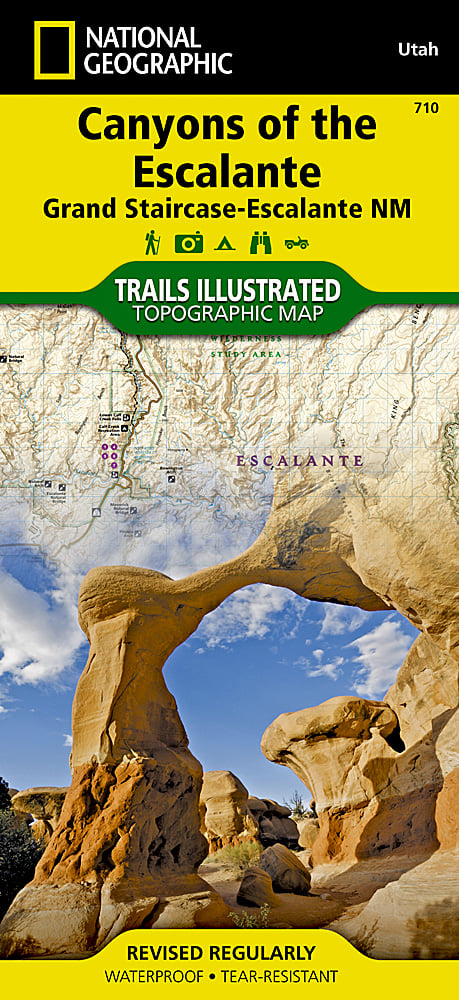
Escalante Canyons, Grand Staircase Trails Illustrated Topo Map #710
Escalante Canyons, Grand Staircase Trails Illustrated Topo Map #710
Couldn't load pickup availability
Share
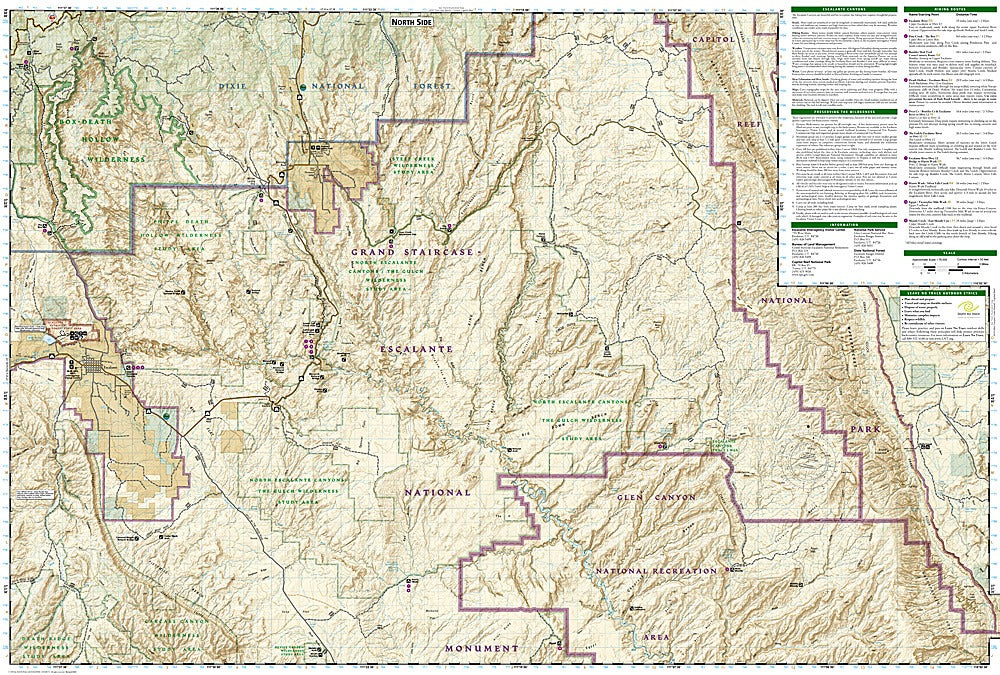
Discover the wild beauty of southern Utah with the Escalante Canyons, Grand Staircase Trails Illustrated Topographic Map #710 by National Geographic. Covering one of the most remote regions of the Grand Staircase–Escalante National Monument, this map is your essential companion to exploring over 1.7 million acres of rugged cliffs, hidden slot canyons, and winding desert rivers. Top attractions featured include the otherworldly landscapes of Fiftymile Bench, the fascinating fossils and petrified wood at Escalante Petrified Forest State Park, and the cultural treasures preserved at Anasazi State Park Museum.
Rich in history, this region was one of the last places in the continental United States to be mapped, and it holds centuries of ancestral Puebloan heritage. With detailed contour lines, river mileage on the Escalante River, and clearly marked hiking and 4WD routes, this waterproof, tear-resistant map is built for adventure. Perfect for hikers, paddlers, and explorers seeking Utah’s untouched wilderness.
SKU: SKU:TRA710
View full details