International Travel Maps
England South Travel Map
England South Travel Map
Couldn't load pickup availability
Share
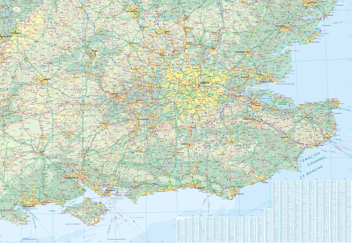
This map covers England from Bristol/Colchester south to the English Channel, with Cornwall, Devon, and Somerset on Side 1 and the Southampton/London/Kent portion occupying Side 2. The scale is detailed enough to show all rail lines, motorways, primary highways, secondary roads, and most tertiary-level roadways in the area of the map, with sufficient space to include road names/numbers for all the A and M roads. It also shows most castles, abbeys, cathedrals, and National Trust properties (apologies for any left out). A new addition is the inclusion of long-distance Euro bike routes that are becoming increasingly popular. This is an incredibly detailed map at an excellent scale, covering the most-visited part of England.
SKU: SKU:ITMENGS
View full details