International Travel Maps
England East Coast Travel Map
England East Coast Travel Map
Couldn't load pickup availability
Share
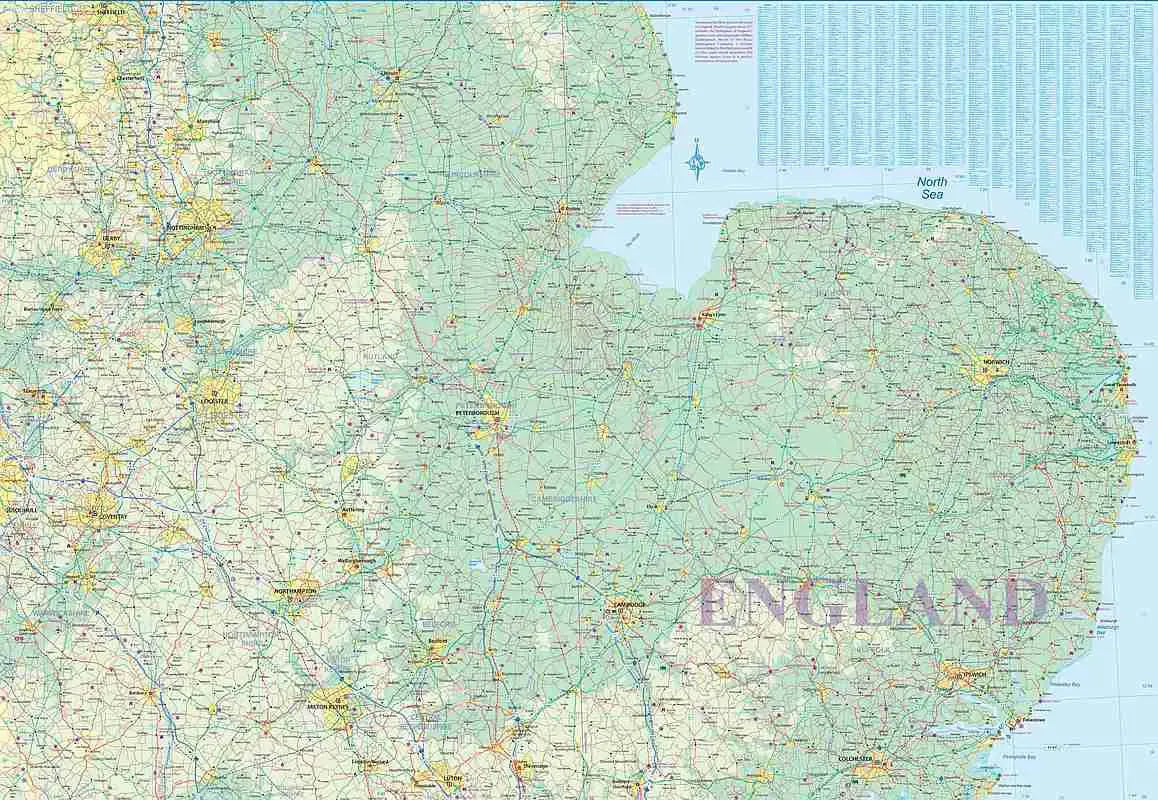
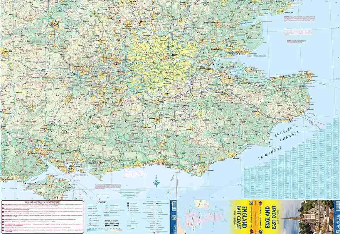
England East Coast Travel & Reference Map: Discover the East Coast of England with ITMB’s double-sided folded travel map, scaled at 1:250,000, offering a comprehensive view of one of Europe’s most visited regions. The front side highlights the stretch from Dover’s iconic White Cliffs to Southampton's bustling port, extending north to Luton. While the back side covers from Colchester to Coventry, sweeping northward to the vibrant cities of Sheffield and Boston.
This map is perfect for exploring famous landmarks like Stonehenge, the mystical ancient stone circle near Salisbury, and Windsor Castle, a magnificent royal residence steeped in history. Travelers can also visit the striking Norfolk Broads, a vast network of rivers and lakes, ideal for boating and nature lovers. Whether navigating train or car, this England East Coast Travel Map clearly shows all road, rail and rapid-rail routes, ensuring a smooth journey.
The map’s intuitive design includes detailed symbols for roads, highways, national parks, rivers, lakes, and points of interest, making it easier than ever to plan your adventure. Spanning a generous 27" x 39", the England East Coast Travel Map unfolds an exciting route through England’s historic towns, scenic countryside, and bustling cities. A perfect companion for tourists seeking to uncover both well-trodden paths and hidden gems.
SKU: SKU:ITMENGLANDEC
View full details