

National Forest Service
Eldorado National Forest - Mokelumne Wilderness Forest Service Map
Eldorado National Forest - Mokelumne Wilderness Forest Service Map
Couldn't load pickup availability
Share
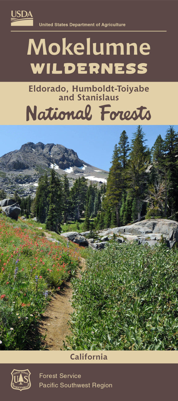
Explore the wild heart of the Sierra Nevada with the Mokelumne Wilderness Forest Service Map. Spanning over 105,000 acres across Eldorado, Humboldt-Toiyabe, and Stanislaus National Forests, this topographic map guides you through dramatic terrain dotted with volcanic ridges, granite peaks, and pristine alpine lakes.
Hike to the panoramic summit of Round Top, cast a line in the Blue Lakes, or wander the wildflower-strewn meadows of Carson Pass. Keep an eye out for black bears, mule deer, and soaring bald eagles, as well as rare Sierra Nevada wildflowers like lupine and Indian paintbrush. Protected since 1964 under the Wilderness Act, Mokelumne’s rugged beauty is a haven for hikers, backpackers, and nature lovers alike.
Located just south of Lake Tahoe, this essential Forest Service map ensures you won’t miss a moment in this untamed alpine paradise. Plan your adventure and experience California wilderness at its finest.
- Waterproof Map
- 1" to the Mile
- Topographic Lines with contour interval of 80 ft
SKU: SKU:NFCAMOK
View full details