

National Forest Service
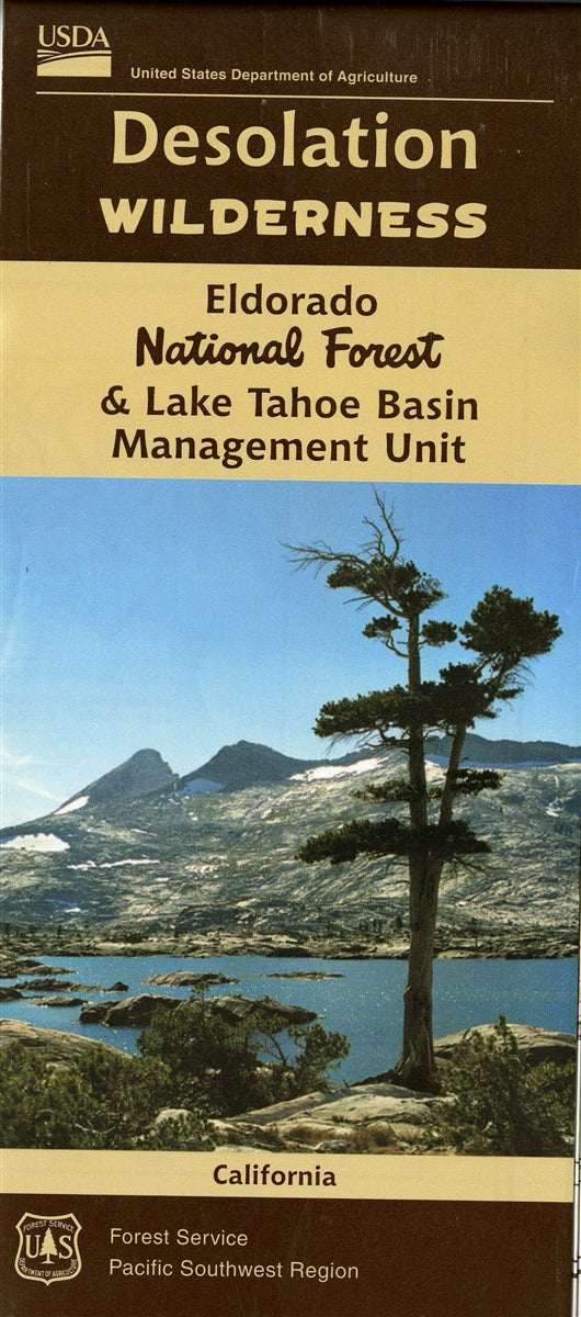
Eldorado National Forest - Desolation Wilderness Forest Service Map
Eldorado National Forest - Desolation Wilderness Forest Service Map
Couldn't load pickup availability
Share
Discover the wild beauty of California's Eldorado National Forest and Desolation Wilderness with this official U.S. Forest Service map - your essential guide to adventure! Located west of Lake Tahoe in the Sierra Nevada, this rugged wilderness spans over 63,000 acres of granite peaks, alpine lakes, and dense pine forests.
Hike to the iconic Lake Aloha, conquer Pyramid Peak, or explore the breathtaking Eagle Falls. Encounter mule deer, black bears, and marmots while traversing trails lined with wildflowers, lodgepole pines, and junipers. Established in 1969, Desolation Wilderness offers a glimpse into California’s glacial past and raw natural beauty. This waterproof, tear-resistant map details trails, campsites, and backcountry zones to help plan the perfect wilderness escape.
Whether you're backpacking or day hiking, this map is the ultimate tool for exploring one of Northern California’s most beloved alpine playgrounds. Experience freedom, solitude, and unforgettable scenery—all just a short drive from Sacramento or Lake Tahoe.
SKU: SKU:NFCADP
View full details