Ordnance Survey
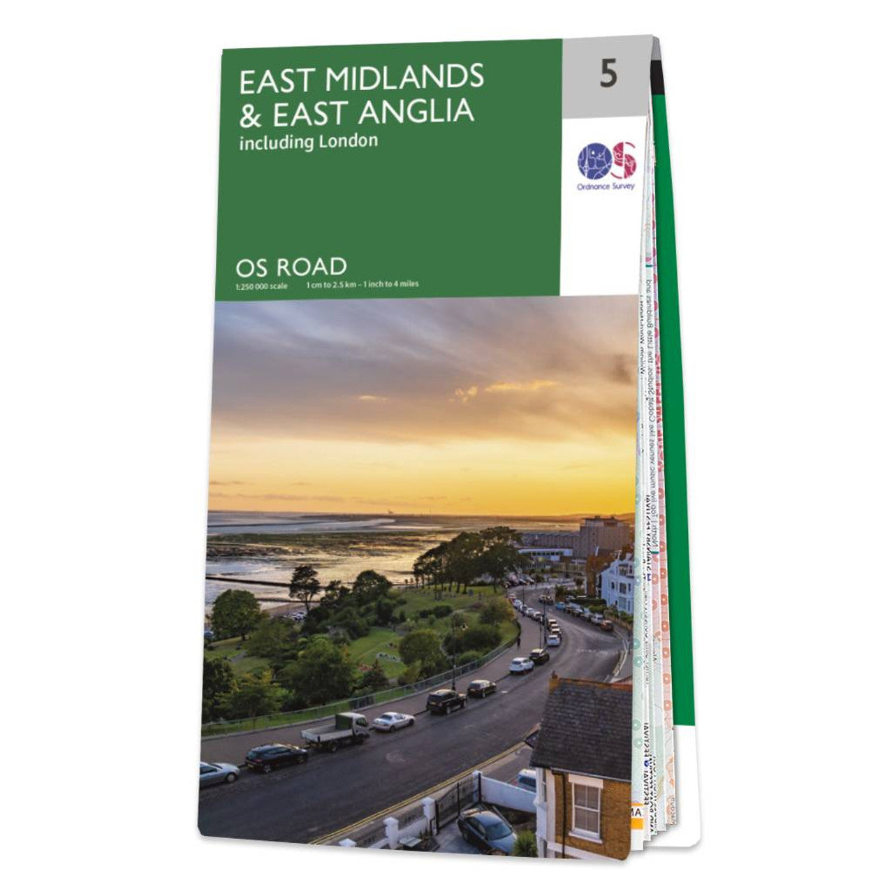
East Midlands & East Anglia Road & Reference Map by Ordnance Survey
East Midlands & East Anglia Road & Reference Map by Ordnance Survey
Couldn't load pickup availability
Share
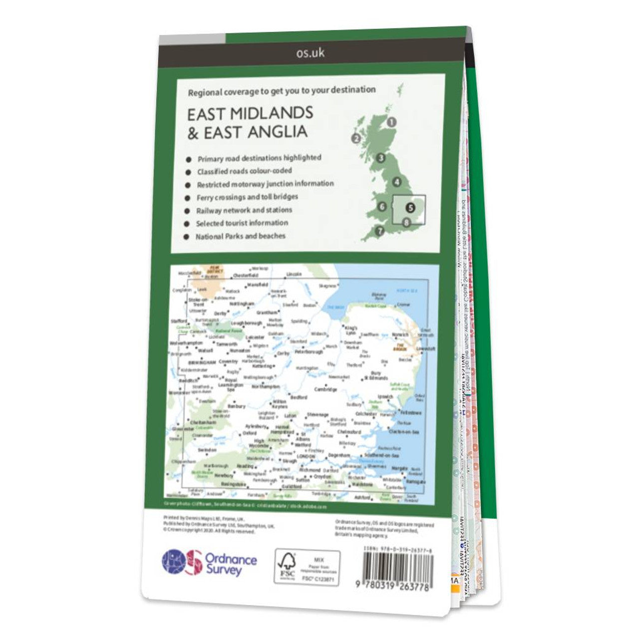
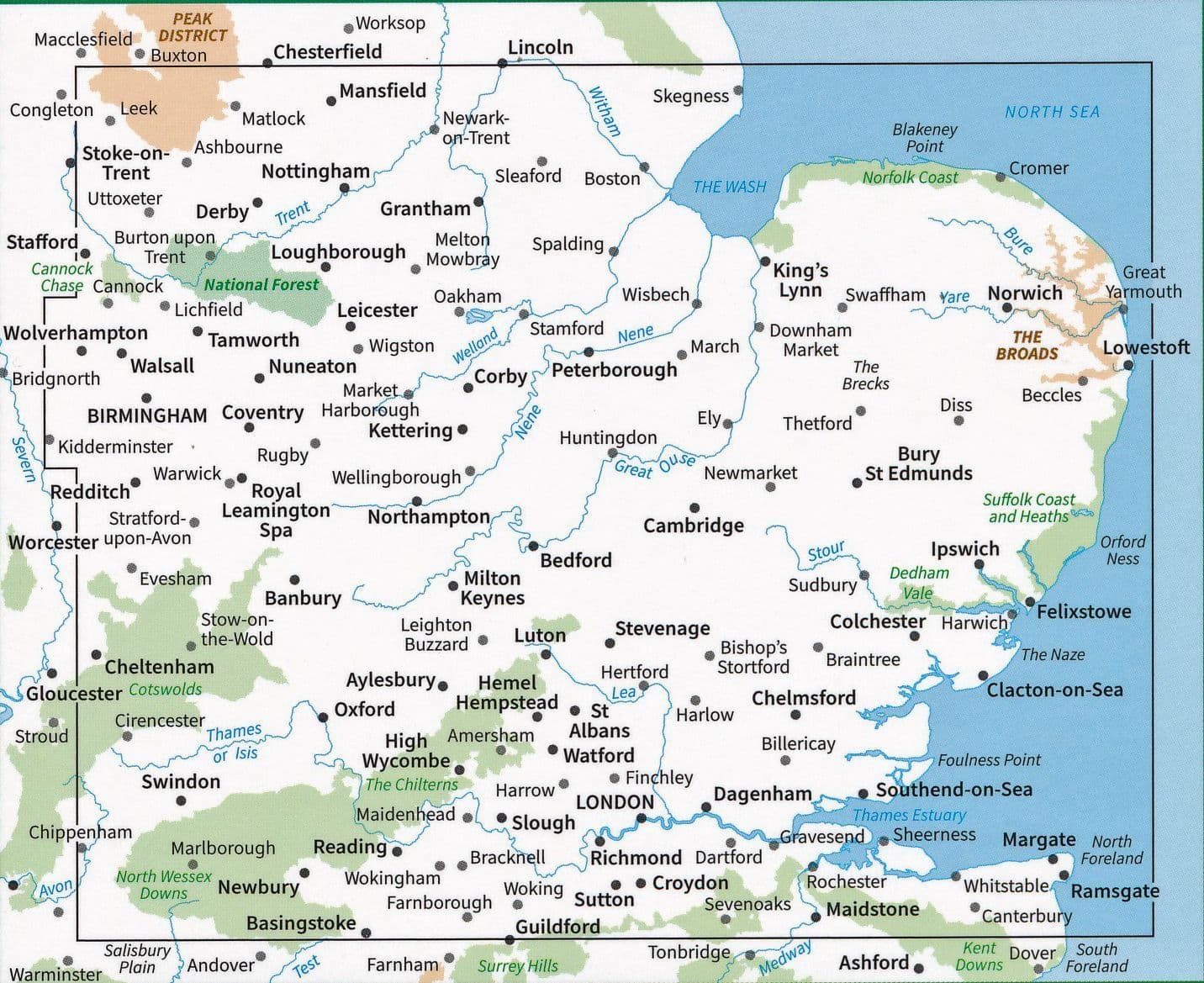
Explore the heart of England with the East Midlands & East Anglia Road Map by Ordnance Survey, your essential companion for unforgettable road trips and cycling adventures. With a detailed scale of 1:250,000, this map reveals the vibrant blend of countryside and coast, covering Norfolk, the East Midlands, and the scenic Thames Estuary.
Discover the magical waterways of the Norfolk Broads, roam the historic streets of Lincoln, or marvel at the soaring towers of Ely Cathedral. Designed by Great Britain’s national mapping agency, this map includes all major roads, railways, ferries, towns, and key attractions, helping you plan with confidence. Contours and hill shading bring the landscape to life, whether you're navigating rolling hills or tracing the coastline.
Part of OS’s trusted Road series, this map is perfect for long-distance cycling or relaxed car touring. Set your course for adventure and let the journey unfold with OS Road 5.
SKU: SKU:MAPOSRM5
View full details