National Geographic
Dublin City Destination Map & Travel Guide by National Geographic
Dublin City Destination Map & Travel Guide by National Geographic
Couldn't load pickup availability
Share
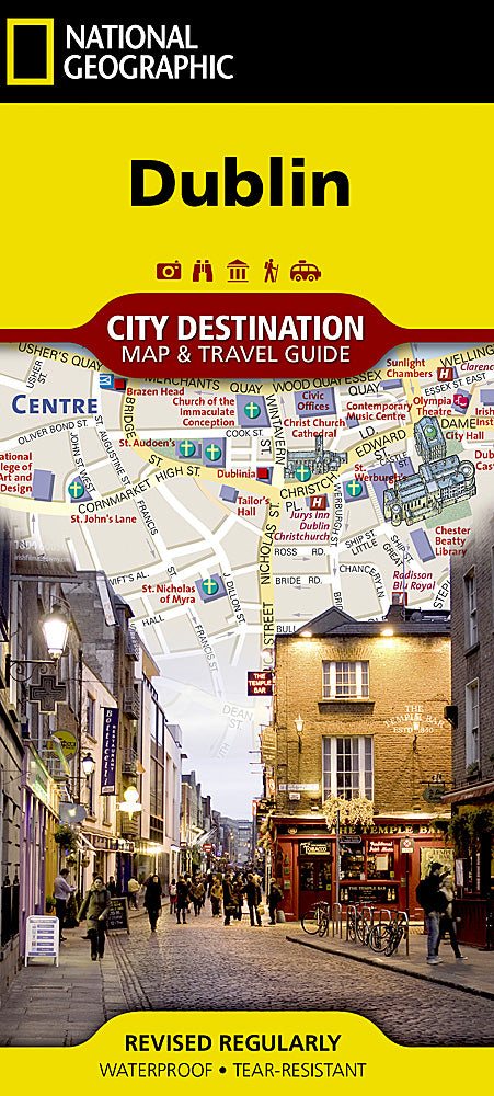
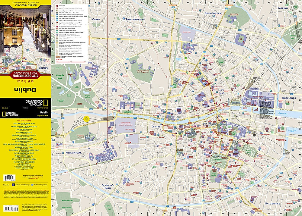
National Geographic's folded Dublin City Destination Map & Travel Guide is your ultimate companion for exploring Ireland's vibrant capital. The front side showcases a detailed street network with clear designations for main roads, one-way streets, pedestrian zones, and transit lines, making navigation a breeze. Hundreds of points of interest are highlighted, from the stunning Dublin Castle and the historic St. Patrick's Cathedral to the treasures of the National Museum, many depicted in eye-catching 3D.
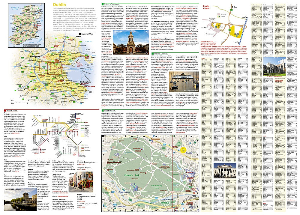
The reverse side features regional maps of Ireland, a close-up of Phoenix Park, and informative descriptions of key attractions, neighborhoods, and local history. An easy-to-use index of streets, hotels, parks, public buildings, and transit connections ensures you can plan your route efficiently and maximize your visit.
Printed on durable, waterproof synthetic paper, this map can withstand rain or spills while you explore the city. Fun fact: Dublin is home to the oldest pub in Ireland, dating back to 900 AD, making history a daily companion on your travels.
SKU: SKU:NGSDDUB
View full details