National Geographic
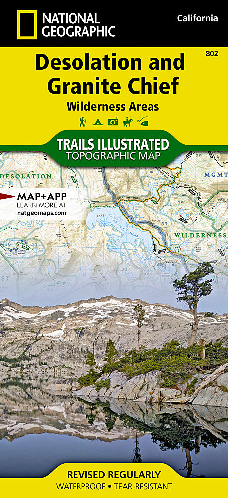
Desolation & Granite Chief Wilderness Trails Illustrated Map #802
Desolation & Granite Chief Wilderness Trails Illustrated Map #802
Couldn't load pickup availability
Share
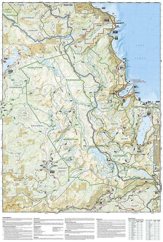
Explore the rugged beauty of California’s Sierra Nevada with the Desolation & Granite Chief Wilderness Areas Trails Illustrated Topographic Map #802 by National Geographic. Perfect for hikers, backpackers, and equestrians, this detailed map covers 89,640 acres of pristine wilderness just west of Lake Tahoe.
Discover stunning attractions such as Lake Aloha, a glacial gem surrounded by granite peaks; Pyramid Peak, a 9,983-foot summit offering breathtaking panoramic views; and the headwaters of the American River, where crystal-clear streams emerge from high alpine meadows. Steeped in history, Desolation Wilderness was part of the Lake Tahoe Forest Reserve in 1899 and became a Congressionally designated wilderness in 1969, while Granite Chief gained wilderness status in 1984 to protect its unspoiled landscapes.
Trails are clearly classed by use with distances marked, and the waterproof, tear-resistant map features a full UTM grid for GPS navigation. Venture confidently into these remote backcountry trails with a reliable guide at your side.
SKU: SKU:TRA802
View full details