WoodChart
Delaware Bay Wood Chart
Delaware Bay Wood Chart
Couldn't load pickup availability
Share
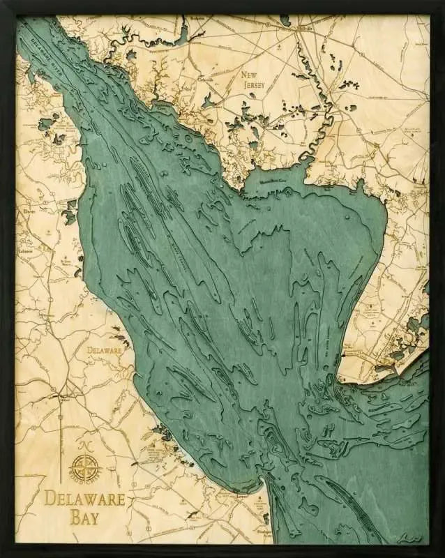
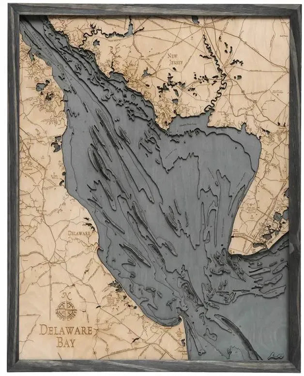
The Delaware Bay 3D Wood Chart offers a captivating exploration of one of the most important estuaries on the East Coast of the United States. Nestled between Delaware and New Jersey, this bay serves as the mouth of the Delaware River and has been a vital hub for commerce and navigation since colonial times. It spans approximately 782 square miles, with its coastline featuring sandy beaches, marshlands, and historic towns that tell tales of early American settlement. As the bay flows into the Atlantic Ocean, it plays a crucial role in the region's ecosystem, supporting a rich diversity of wildlife, including migratory birds and horseshoe crabs.
Delaware Bay 3D Wood Chart Points of Interest Include: Delaware Bay's coastline is dotted with historically significant and picturesque locations. The chart captures the winding Delaware River as it meets the bay, a vital waterway that has shaped the region's history. Dover, the capital of Delaware, and the nearby town of Lebanon showcase the state’s rich heritage. Lewes, known as the "First Town in the First State," along with the scenic Cape Henlopen State Park, offers a glimpse into the area's colonial past. Across the bay, the charming town of Cape May is highlighted, renowned for its Victorian architecture. The chart also features Millville, Bridgeton, and Cedarville, all towns steeped in maritime and industrial history.
Delaware Bay Nautical Wood Chart Color Options: Choose from two distinctive color palettes to best complement your decor. The Dark Brown Frame with Greenish Blue Water evokes a classic, rich aesthetic, perfect for traditional settings. Alternatively, the Rustic Grey Frame with Greyish Blue Water offers a more contemporary look, ideal for modern or coastal-inspired interiors.
SKU: SKU:MINDB
View full details