

National Forest Service
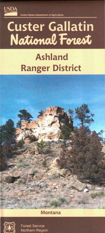
Custer Gallatin National Forest - Ashland Ranger District USFS Map
Custer Gallatin National Forest - Ashland Ranger District USFS Map
Couldn't load pickup availability
Share
Discover the untamed beauty of southeastern Montana with the Custer Gallatin National Forest – Ashland Ranger District Map. Centered near the town of Ashland, this detailed Forest Service map is your key to exploring rugged badlands, ponderosa pine forests, and rolling prairies. Navigate to top attractions like King Mountain, the Tongue River Breaks, and scenic Taylor Ridge. Wildlife watchers will delight in spotting elk, mule deer, wild turkeys, and golden eagles, while wildflowers and native grasses blanket the landscape in seasonal color.
Steeped in the history of the Northern Cheyenne homeland, this region offers both cultural richness and outdoor adventure. Whether you're hiking, camping, or hunting, the map helps you discover lesser-known trails and quiet backroads. Plan your next journey into one of Montana’s most scenic and storied landscapes with the Ashland District map—your guide to the heart of Big Sky Country.
SKU: SKU:NFMTCA
View full details