1
/
of
1
National Geographic
Cuba Wall Map by National Geographic
Cuba Wall Map by National Geographic
Regular price
$19.95 USD
Regular price
Sale price
$19.95 USD
Unit price
/
per
Couldn't load pickup availability
Share
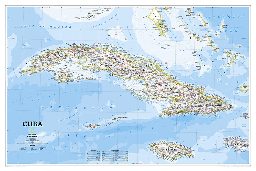
National Geographic’s Cuba Wall Map brings the island nation to life with its classic design, vibrant colors, and detailed cartography. Perfect for display in a home, classroom, or office, this 36" x 24" map highlights Cuba’s diverse landscapes, from the Sierra Maestra mountains to lush valleys, coral reefs, and winding rivers.
Thousands of place names are marked, along with national parks, swamps, railways, oil fields, ferry routes, and airports. Surrounding regions, including the Florida Keys, Jamaica, the Cayman Islands, the Bahamas, and Haiti, are also included, giving valuable geographic context. A fascinating fact: Cuba is the largest island in the Caribbean, stretching over 750 miles long, yet it’s only about 60 miles wide in some areas—earning it the nickname “the crocodile” for its distinctive shape.
Complete with ocean bathymetry, shaded relief, and an easy-to-use index, this wall map is both beautiful and functional for travel planning, education, or decoration.
Articles
Articles
SKU: SKU:NGSCUB
View full details