Rand McNally
Connecticut & Rhode Island State Highway Folded Map by Rand McNally
Connecticut & Rhode Island State Highway Folded Map by Rand McNally
Couldn't load pickup availability
Share
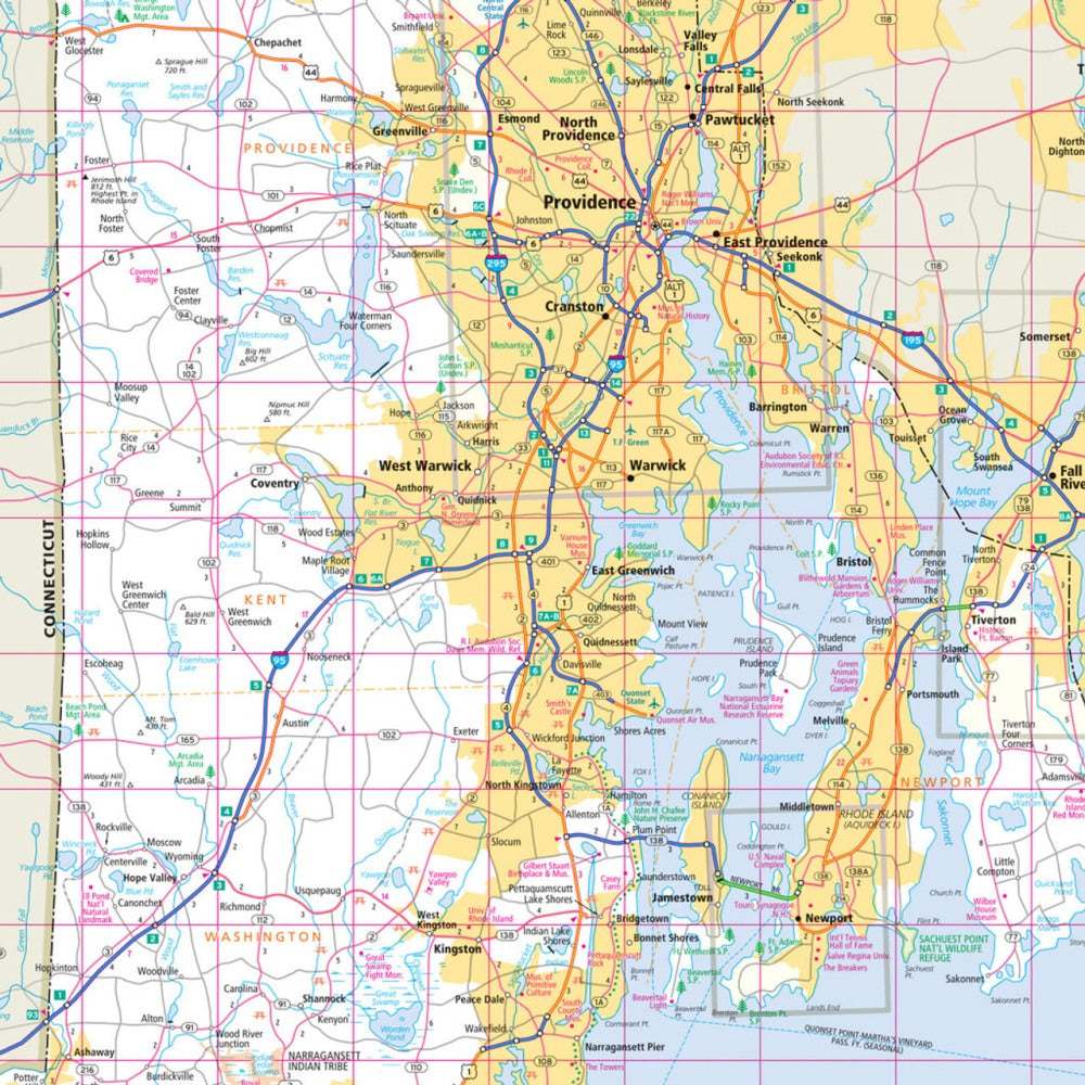
Hit the road through the “Constitution State” and the “Ocean State” with Rand McNally’s Easy to Read Connecticut & Rhode Island State Highway Map—your ultimate road trip co-pilot that never loses signal! Perfect for planners who love a bird’s-eye view, this colorful, regularly updated paper map lets you trace every scenic byway, hidden beach, and historic town the old-fashioned way—no zooming or buffering required.
Navigate with confidence using Rand McNally’s trusted cartography featuring clearly labeled highways, county lines, parks, airports, and must-see points of interest. The large type and detailed index make trip planning a breeze—just unfold, explore, and go.
Don’t miss quirky gems like the Glass House in New Canaan, Connecticut—a modernist marvel tucked away in the trees. From seaside escapes to colonial charm, this map is your ticket to discovering New England’s best-kept secrets, one unforgettable mile at a time.
SKU: SKU:RMCUSCTRI
View full details