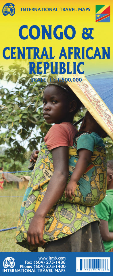
International Travel Maps
Congo, DRC & Central African Republic Travel & Reference Map by ITMB
Congo, DRC & Central African Republic Travel & Reference Map by ITMB
Couldn't load pickup availability
Share
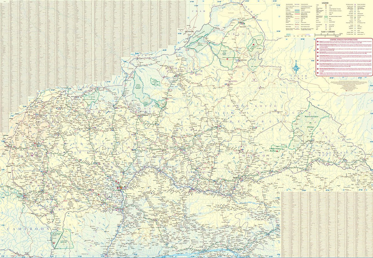
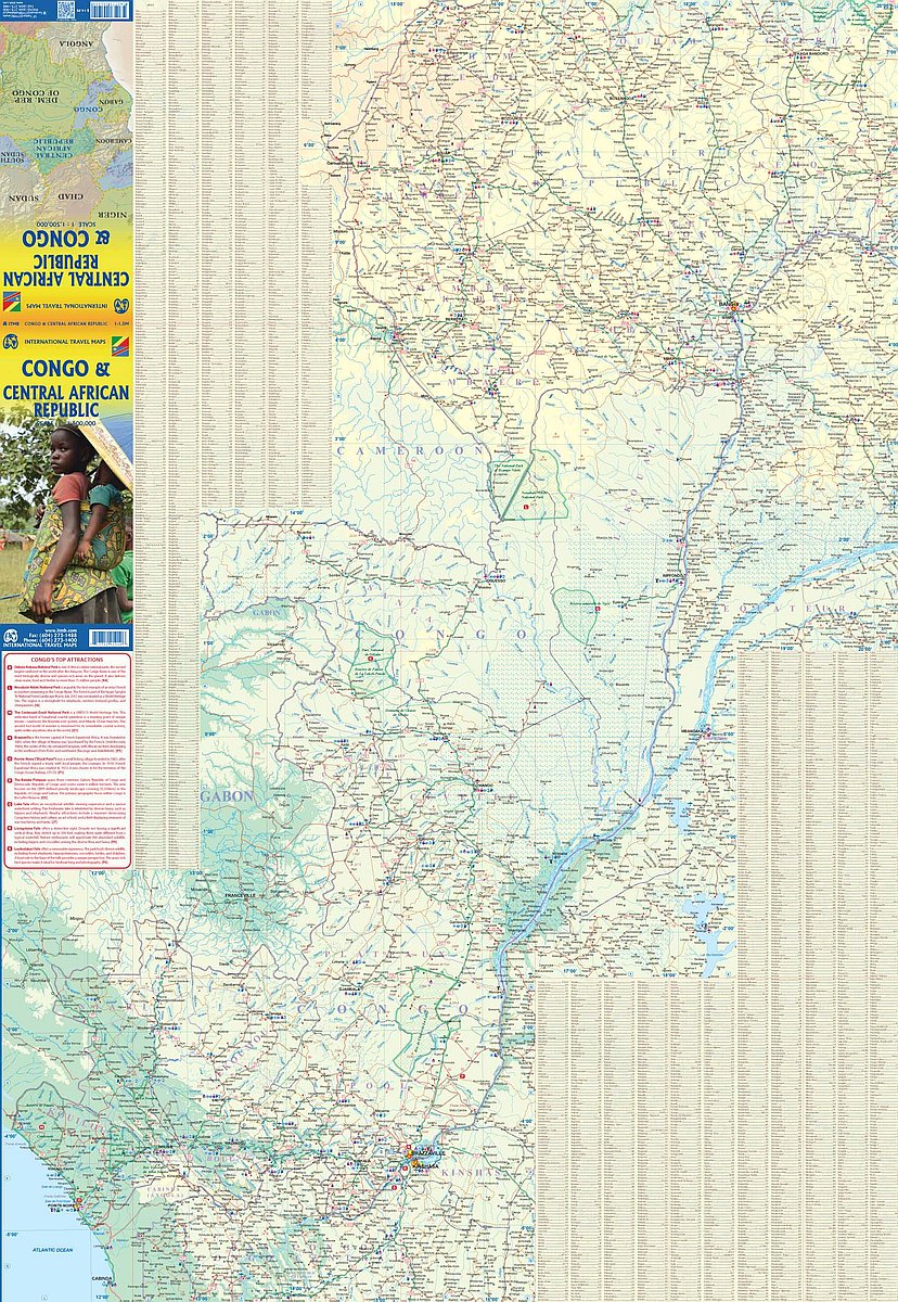
Explore the heart of Central Africa with ITMB’s folded, double-sided Congo, DRC & Central African Republic Travel & Reference Map at a scale of 1:1,500,000. This detailed map captures two neighboring countries with wildly different histories—Congo, once a French colony, and DEM Congo, formerly Belgian Congo.
On one side, journey through the Republic of Congo from the Atlantic port city of Pointe-Noire to the historic capital of Brazzaville, founded in 1883. Navigate along the legendary Congo River, still the main lifeline through dense jungle and remote regions. Flip to the other side to explore the Central African Republic, with its capital Bangui resting on the banks of the river, serving as a gateway to the interior.
Discover top attractions like Odzala-Kokoua National Park, Dzanga-Sangha Reserve, and the falls at Boali. With natural wonders, rugged terrain, and adventure-packed roads, this map is your essential guide for off-the-beaten-path exploration.
SKU: SKU:ITMCONCAR
View full details