NOAA
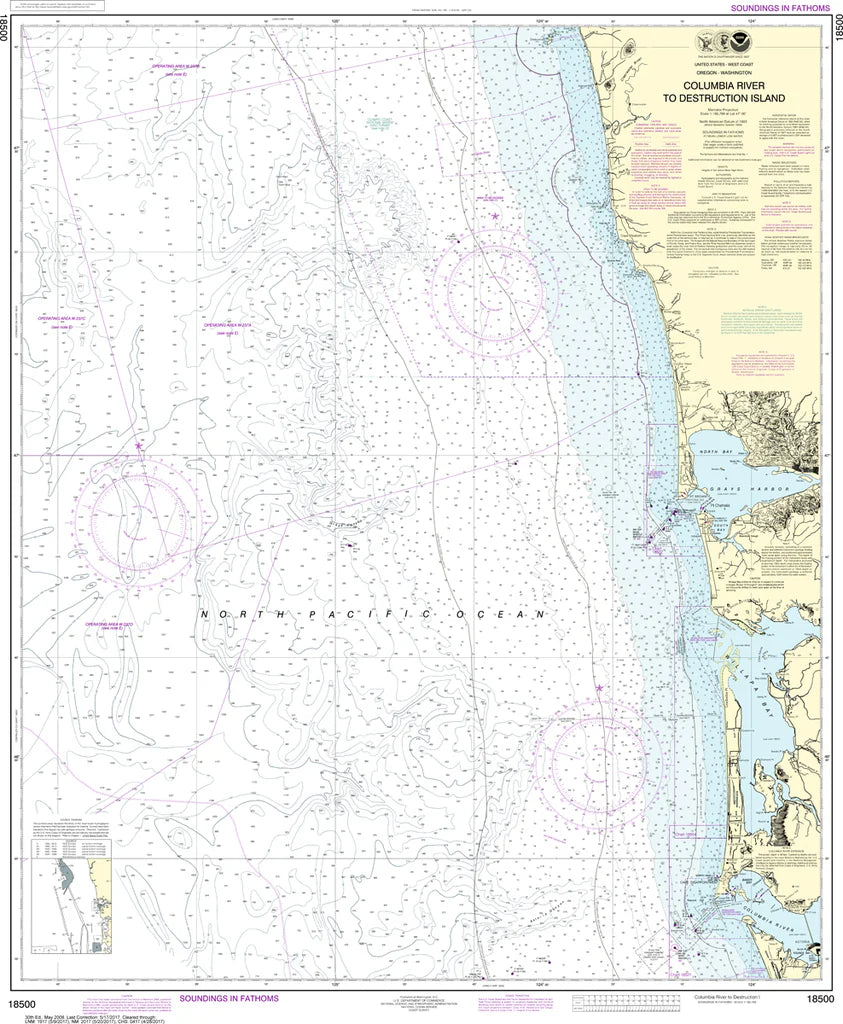
Columbia River to Destruction Island (WA Coast) Nautical Chart #18500
Columbia River to Destruction Island (WA Coast) Nautical Chart #18500
Couldn't load pickup availability
Share
Chart a legendary stretch of the Pacific Northwest with the Columbia River to Destruction Island (WA Coast) Nautical Chart #18500! Whether you're a mariner, coastal history buff, or map collector, this classic NOAA chart brings one of America's most dramatic shorelines to life.
Covering Washington's rugged outer coast from the mighty Columbia River north to Destruction Island, this chart features the entrances to Grays Harbor and Willapa Bay, the long beaches of the Olympic Peninsula, and countless offshore rocks, shoals, and coastal landmarks. Printed at a scale of 1:180,789, it delivers an outstanding overview of this wild maritime region on a generous 35" x 42" chart, making it perfect for display or reference.
Destruction Island has guided mariners since its lighthouse first illuminated the coast in 1891, helping ships safely navigate one of the Pacific's most challenging shorelines.
(View more detail in nautical chart viewer)
Please note: For decorative and reference purposes only, NOAA has officially sunset traditional paper nautical charts. These legacy charts are no longer updated or approved for primary navigation.
SKU: SKU:NOS18500
View full details